 |
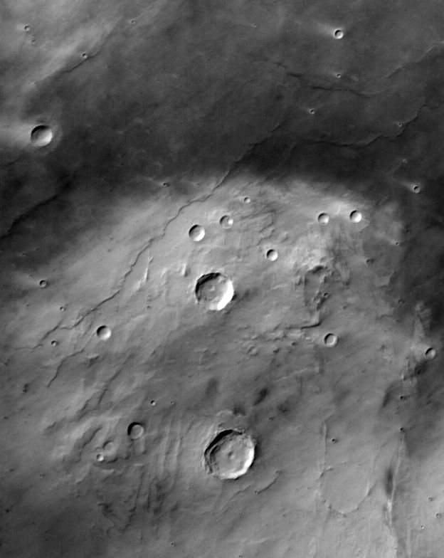
MOC wide-angle image R02-01183
Red WA dust event monitoring in southern Solis Dorsa region
Ancillary data for MOC wide-angle image R02-01183
Acquisition parameters
     Image ID (picno): R02-01183
     Image start time: 2003-02-22T09:51:42.30 SCET
         Image  width:    624      pixels
         Image height:    784      pixels
Line integration time:     80.4800 millisec
   Pixel aspect ratio:      0.99
   Crosstrack summing:      1
    Downtrack summing:      1
     Compression type: MOC-NONE
            Gain mode:     3A (hexadecimal)
          Offset mode:      5 (decimal)
|
Derived values
Longitude of image center: 79.72°W Latitude of image center: 28.33°S Scaled pixel width: 251.38 meters Scaled image width: 160.38 km Scaled image height: 193.27 km Solar longitude (Ls): 141.62° Local True Solar Time: 14.83 decimal hours Emission angle: 20.11° Incidence angle: 60.11° Phase angle: 41.38° North azimuth: 93.62° Sun azimuth: 44.64° Spacecraft altitude: 374.04 km Slant distance: 395.70 km |
Policy regarding use of processed images
Release date: 30 September 2003