 |
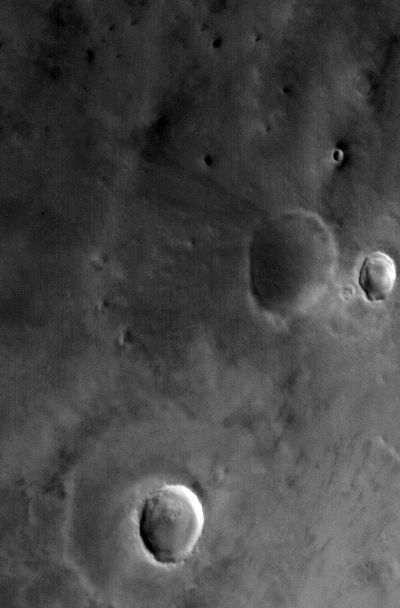
MOC wide-angle image R02-00402
Dust monitor image in northeast Amazonis Planitia

Ancillary data for MOC wide-angle image R02-00402
Acquisition parameters
     Image ID (picno): R02-00402
     Image start time: 2003-02-08T04:54:39.12 SCET
         Image  width:    400      pixels
         Image height:    608      pixels
Line integration time:     80.4800 millisec
   Pixel aspect ratio:      0.83
   Crosstrack summing:      1
    Downtrack summing:      1
     Compression type: MOC-NONE
            Gain mode:     4A (hexadecimal)
          Offset mode:      5 (decimal)
|
Derived values
Longitude of image center: 145.59°W Latitude of image center: 41.56°N Scaled pixel width: 289.86 meters Scaled image width: 116.29 km Scaled image height: 146.17 km Solar longitude (Ls): 134.61° Local True Solar Time: 14.57 decimal hours Emission angle: 22.19° Incidence angle: 40.84° Phase angle: 40.16° North azimuth: 92.18° Sun azimuth: 338.20° Spacecraft altitude: 416.17 km Slant distance: 445.44 km |
Policy regarding use of processed images
Release date: 30 September 2003