 |
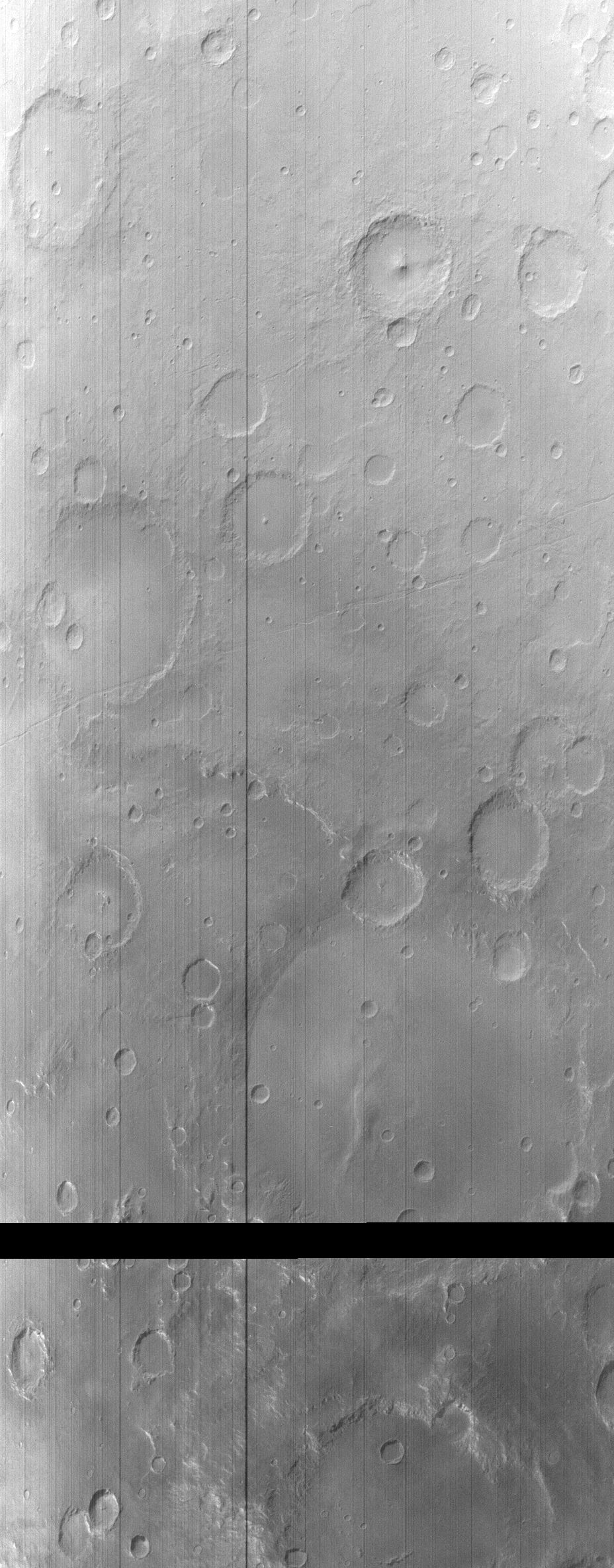
MOC wide-angle image R01-00195
Blue WA south mid-latitude seasonal frost monitor image

Ancillary data for MOC wide-angle image R01-00195
Acquisition parameters
     Image ID (picno): R01-00195
     Image start time: 2003-01-05T08:17:52.21 SCET
         Image  width:    928      pixels
         Image height:   2368      pixels
Line integration time:     80.4800 millisec
   Pixel aspect ratio:      1.00
   Crosstrack summing:      2
    Downtrack summing:      2
     Compression type: MOC-NONE
            Gain mode:     46 (hexadecimal)
          Offset mode:      5 (decimal)
|
Derived values
Longitude of image center: 160.82°W Latitude of image center: 37.24°S Scaled pixel width: 494.44 meters Scaled image width: 560.93 km Scaled image height: 1171.68 km Solar longitude (Ls): 118.48° Local True Solar Time: 14.61 decimal hours Emission angle: 18.07° Incidence angle: 70.18° Phase angle: 57.58° North azimuth: 93.68° Sun azimuth: 54.37° Spacecraft altitude: 373.92 km Slant distance: 391.25 km |
Policy regarding use of processed images
Release date: 30 September 2003