 |
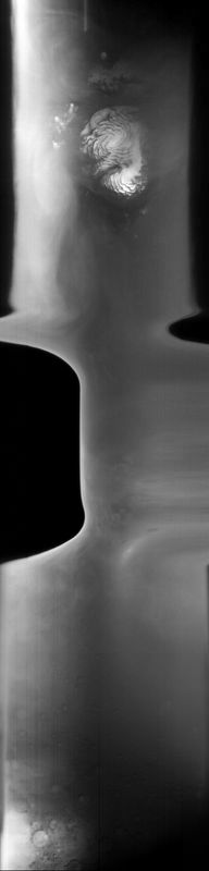
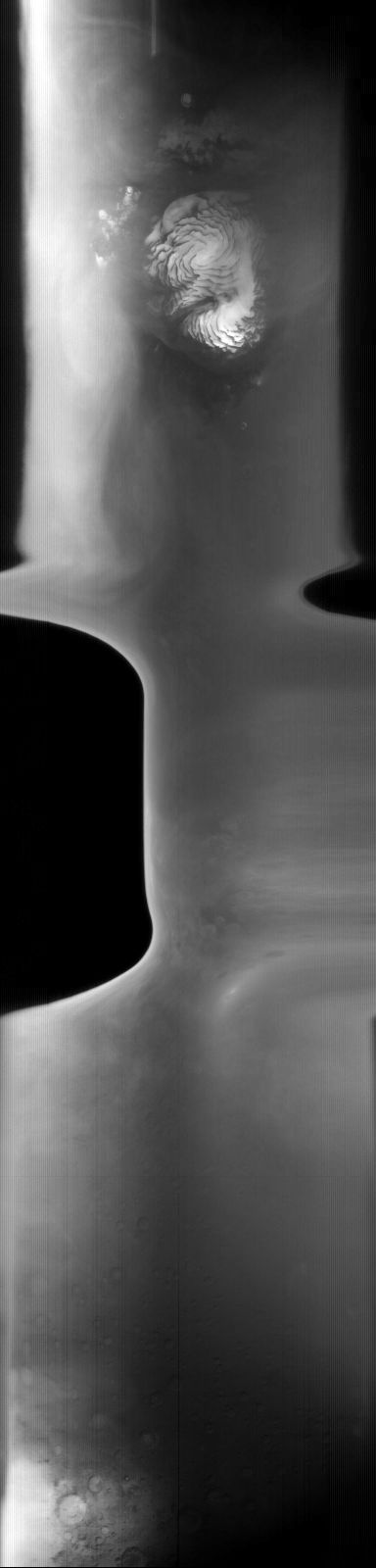
MOC global-map image E21-01420
global map swath
Ancillary data for MOC global-map image E21-01420
Acquisition parameters
     Image ID (picno): E21-01420
     Image start time: 2002-10-27T01:09:52.43 SCET
         Image  width:    384      pixels
         Image height:   1600      pixels
Line integration time:     80.4800 millisec
    Downtrack summing:     27
     Compression type: MOC-DCT-1
            Gain mode:     36 (hexadecimal)
          Offset mode:      5 (decimal)
|
Derived values
Longitude of image center: 25.54°W Latitude of image center: 31.96°N Scaled pixel width: 9461.39 meters Scaled image width: 107.66 km Scaled image height: 10213.57 km Solar longitude (Ls): 86.79° Local True Solar Time: 13.48 decimal hours Emission angle: 31.73° Incidence angle: 26.53° Phase angle: 58.03° North azimuth: 96.98° Sun azimuth: 359.61° Spacecraft altitude: 407.13 km Slant distance: 469.26 km |
Policy regarding use of processed images
Release date: 30 September 2003