 |
MOC wide-angle image E21-00810
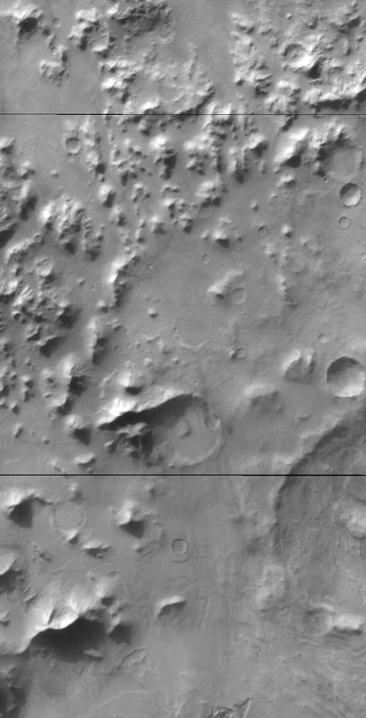
Red WA survey Argyre Planitia
Ancillary data for MOC wide-angle image E21-00810
Acquisition parameters
     Image ID (picno): E21-00810
     Image start time: 2002-10-15T20:28:00.09 SCET
         Image  width:    864      pixels
         Image height:   1696      pixels
Line integration time:     80.4800 millisec
   Pixel aspect ratio:      1.00
   Crosstrack summing:      1
    Downtrack summing:      1
     Compression type: MOC-NONE
            Gain mode:     2A (hexadecimal)
          Offset mode:      5 (decimal)
|
Derived values
Longitude of image center: 47.80°W Latitude of image center: 43.93°S Scaled pixel width: 245.49 meters Scaled image width: 220.26 km Scaled image height: 419.13 km Solar longitude (Ls): 81.88° Local True Solar Time: 14.45 decimal hours Emission angle: 18.34° Incidence angle: 76.83° Phase angle: 63.68° North azimuth: 93.90° Sun azimuth: 59.63° Spacecraft altitude: 373.27 km Slant distance: 391.12 km |
Policy regarding use of processed images
Release date: 30 September 2003