 |
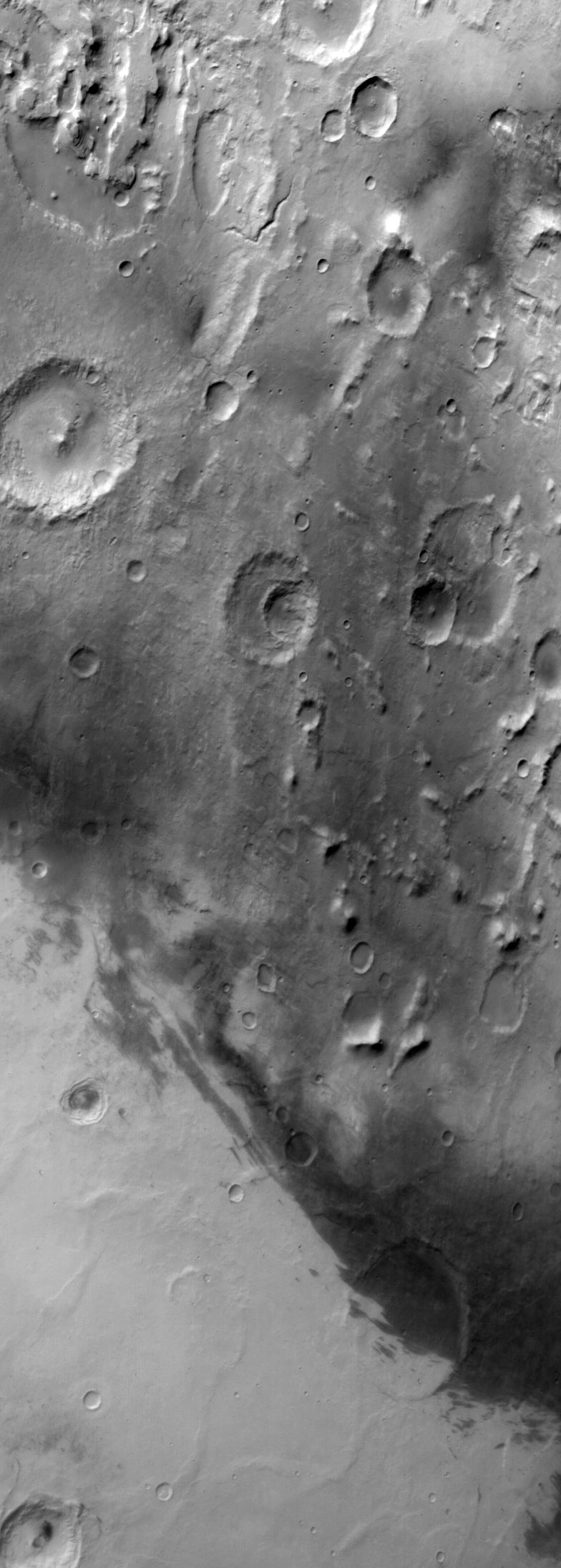
MOC wide-angle image E21-00596
Red WA Hellas Planitia survey

Ancillary data for MOC wide-angle image E21-00596
Acquisition parameters
     Image ID (picno): E21-00596
     Image start time: 2002-10-12T10:08:00.01 SCET
         Image  width:    784      pixels
         Image height:   2192      pixels
Line integration time:     80.4800 millisec
   Pixel aspect ratio:      0.89
   Crosstrack summing:      1
    Downtrack summing:      1
     Compression type: MOC-NONE
            Gain mode:     2A (hexadecimal)
          Offset mode:      5 (decimal)
|
Derived values
Longitude of image center: 283.87°W Latitude of image center: 31.52°S Scaled pixel width: 279.74 meters Scaled image width: 231.57 km Scaled image height: 543.81 km Solar longitude (Ls): 80.38° Local True Solar Time: 14.58 decimal hours Emission angle: 26.70° Incidence angle: 67.60° Phase angle: 42.27° North azimuth: 94.23° Sun azimuth: 55.98° Spacecraft altitude: 373.89 km Slant distance: 413.39 km |
Policy regarding use of processed images
Release date: 30 September 2003