 |
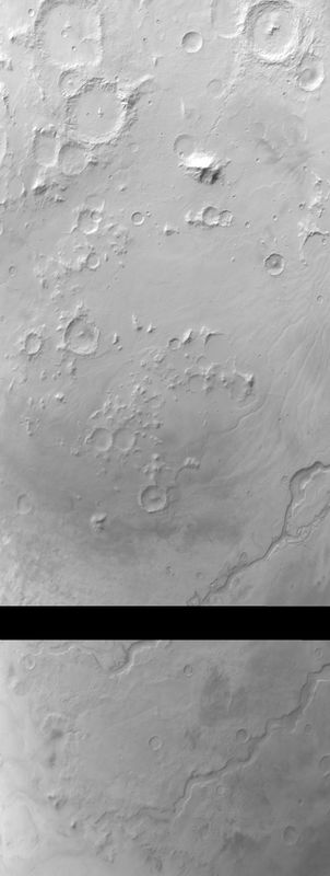
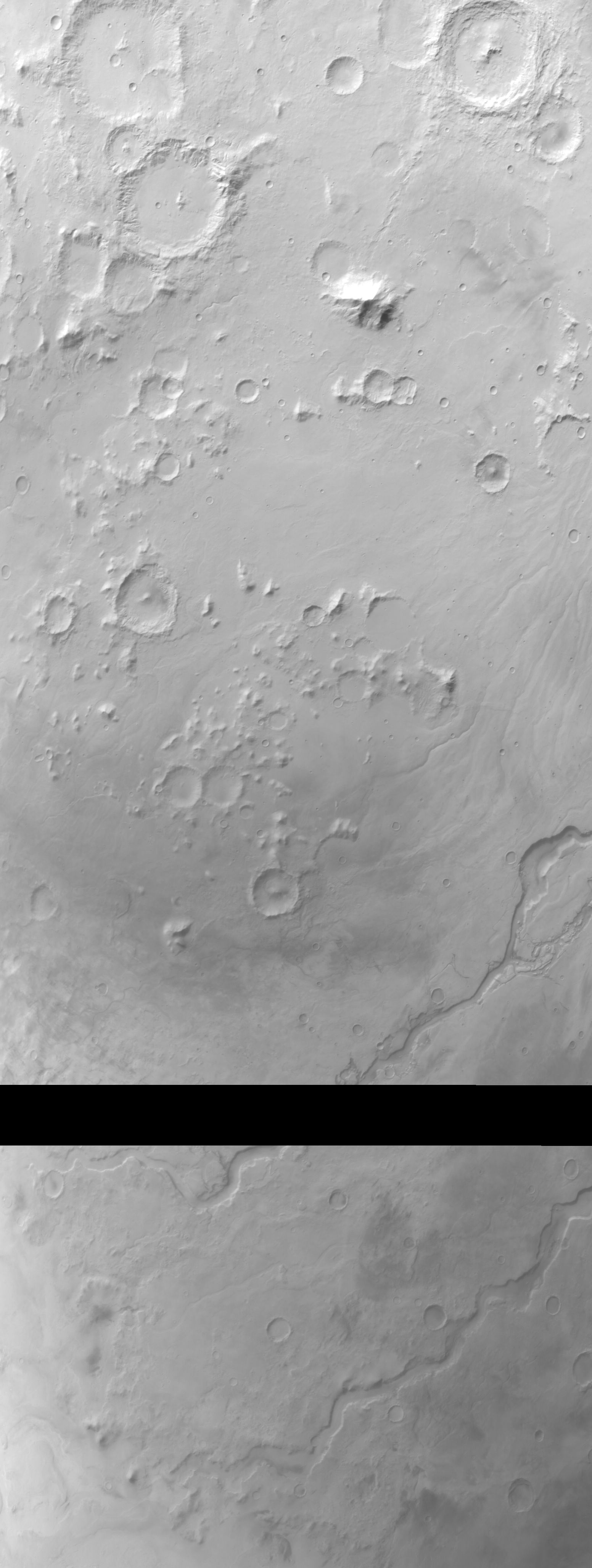
MOC wide-angle image E21-00537
Hellas Planitia red WA survey
Ancillary data for MOC wide-angle image E21-00537
Acquisition parameters
     Image ID (picno): E21-00537
     Image start time: 2002-10-11T08:35:20.77 SCET
         Image  width:   1552      pixels
         Image height:   4112      pixels
Line integration time:     80.4800 millisec
   Pixel aspect ratio:      1.01
   Crosstrack summing:      1
    Downtrack summing:      1
     Compression type: MOC-NONE
            Gain mode:     2A (hexadecimal)
          Offset mode:      5 (decimal)
|
Derived values
Longitude of image center: 273.59°W Latitude of image center: 35.49°S Scaled pixel width: 245.18 meters Scaled image width: 431.21 km Scaled image height: 1018.75 km Solar longitude (Ls): 79.91° Local True Solar Time: 14.40 decimal hours Emission angle: 17.97° Incidence angle: 69.56° Phase angle: 55.16° North azimuth: 93.73° Sun azimuth: 58.31° Spacecraft altitude: 373.55 km Slant distance: 390.66 km |
Policy regarding use of processed images
Release date: 30 September 2003