 |
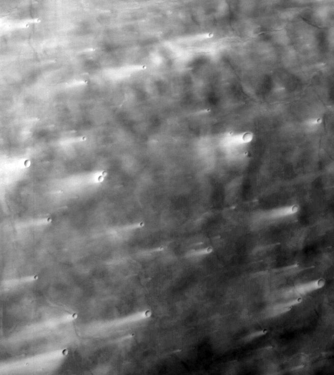
MOC wide-angle image E21-00127
West Syrtis Major red WA albedo survey
Ancillary data for MOC wide-angle image E21-00127
Acquisition parameters
     Image ID (picno): E21-00127
     Image start time: 2002-10-03T04:40:23.13 SCET
         Image  width:    656      pixels
         Image height:    736      pixels
Line integration time:     80.4800 millisec
   Pixel aspect ratio:      0.94
   Crosstrack summing:      1
    Downtrack summing:      1
     Compression type: MOC-NONE
            Gain mode:     4A (hexadecimal)
          Offset mode:      5 (decimal)
|
Derived values
Longitude of image center: 296.27°W Latitude of image center: 5.22°N Scaled pixel width: 262.73 meters Scaled image width: 176.69 km Scaled image height: 181.45 km Solar longitude (Ls): 76.34° Local True Solar Time: 14.19 decimal hours Emission angle: 20.05° Incidence angle: 37.07° Phase angle: 38.15° North azimuth: 93.51° Sun azimuth: 38.13° Spacecraft altitude: 389.27 km Slant distance: 411.56 km |
Policy regarding use of processed images
Release date: 30 September 2003