 |
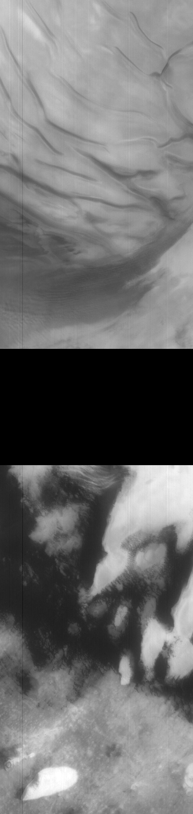
MOC wide-angle image E20-01690
Blue WA survey of north polar cap and dunes

Ancillary data for MOC wide-angle image E20-01690
Acquisition parameters
     Image ID (picno): E20-01690
     Image start time: 2002-09-29T22:35:51.68 SCET
         Image  width:    640      pixels
         Image height:   2688      pixels
Line integration time:     80.4800 millisec
   Pixel aspect ratio:      0.83
   Crosstrack summing:      1
    Downtrack summing:      1
     Compression type: MOC-NONE
            Gain mode:     56 (hexadecimal)
          Offset mode:      5 (decimal)
|
Derived values
Longitude of image center: 251.96°W Latitude of image center: 79.92°N Scaled pixel width: 285.17 meters Scaled image width: 187.14 km Scaled image height: 637.41 km Solar longitude (Ls): 74.92° Local True Solar Time: 13.14 decimal hours Emission angle: 18.18° Incidence angle: 56.18° Phase angle: 71.13° North azimuth: 106.67° Sun azimuth: 306.15° Spacecraft altitude: 436.28 km Slant distance: 456.43 km |
Policy regarding use of processed images
Release date: 30 September 2003