 |
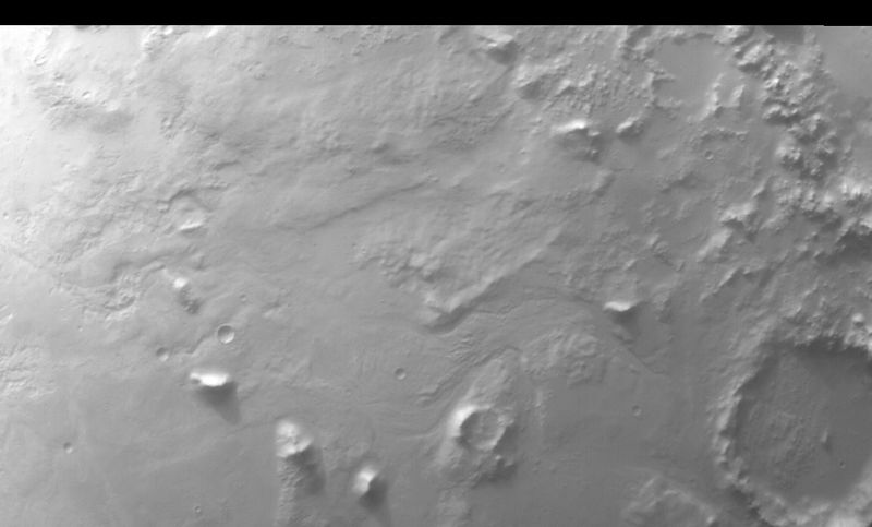
MOC wide-angle image E20-01595
Southeast Argyre Planitia red WA survey image
Ancillary data for MOC wide-angle image E20-01595
Acquisition parameters
     Image ID (picno): E20-01595
     Image start time: 2002-09-28T08:37:01.57 SCET
         Image  width:   1104      pixels
         Image height:    880      pixels
Line integration time:     80.4800 millisec
   Pixel aspect ratio:      1.01
   Crosstrack summing:      1
    Downtrack summing:      1
     Compression type: MOC-NONE
            Gain mode:     2A (hexadecimal)
          Offset mode:      5 (decimal)
|
Derived values
Longitude of image center: 36.65°W Latitude of image center: 52.75°S Scaled pixel width: 243.49 meters Scaled image width: 286.16 km Scaled image height: 217.09 km Solar longitude (Ls): 74.23° Local True Solar Time: 14.53 decimal hours Emission angle: 18.06° Incidence angle: 83.80° Phase angle: 67.35° North azimuth: 95.06° Sun azimuth: 60.52° Spacecraft altitude: 372.57 km Slant distance: 389.84 km |
Policy regarding use of processed images
Release date: 30 September 2003