 |
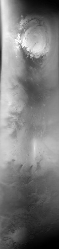
MOC global-map image E20-01283
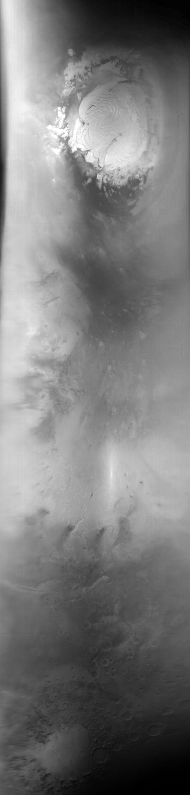
global map swath
Ancillary data for MOC global-map image E20-01283
Acquisition parameters
     Image ID (picno): E20-01283
     Image start time: 2002-09-23T04:59:52.02 SCET
         Image  width:    384      pixels
         Image height:   1600      pixels
Line integration time:     80.4800 millisec
    Downtrack summing:     27
     Compression type: MOC-DCT-1
            Gain mode:     2A (hexadecimal)
          Offset mode:      5 (decimal)
|
Derived values
Longitude of image center: 44.58°W Latitude of image center: 29.13°N Scaled pixel width: 7203.21 meters Scaled image width: 0.00 km Scaled image height: 10229.50 km Solar longitude (Ls): 71.98° Local True Solar Time: 13.67 decimal hours Emission angle: 17.47° Incidence angle: 29.20° Phase angle: 32.93° North azimuth: 93.93° Sun azimuth: 1.22° Spacecraft altitude: 406.60 km Slant distance: 424.02 km |
Policy regarding use of processed images
Release date: 30 September 2003