 |
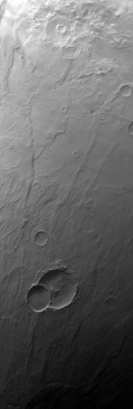
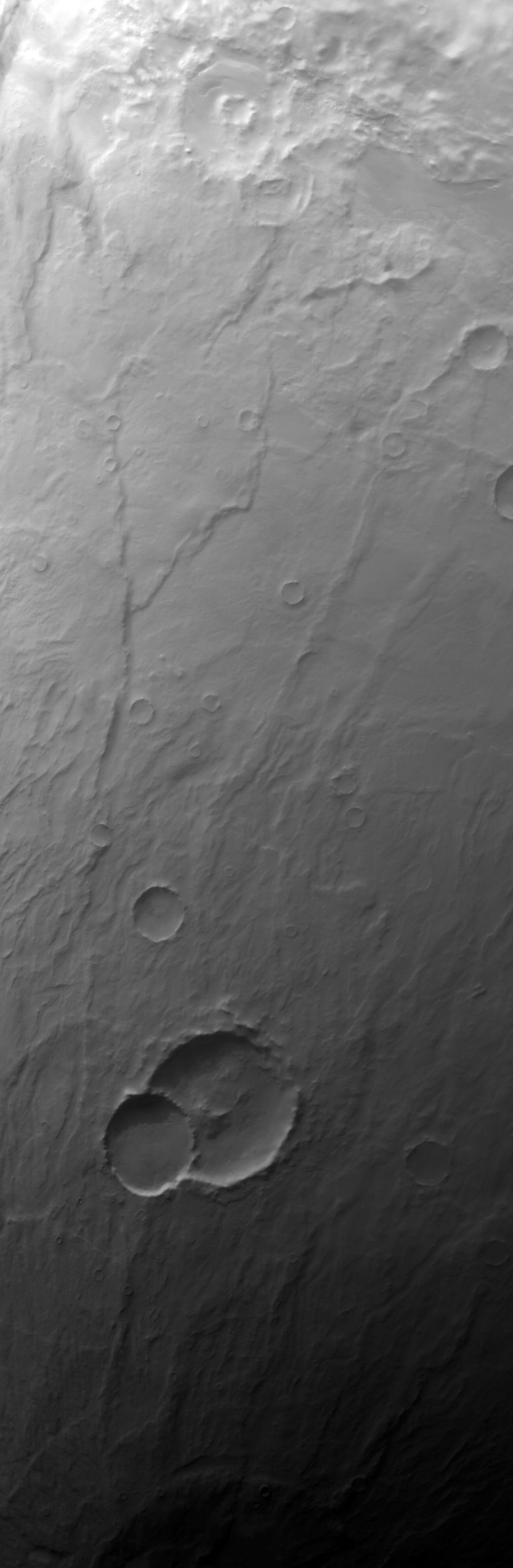
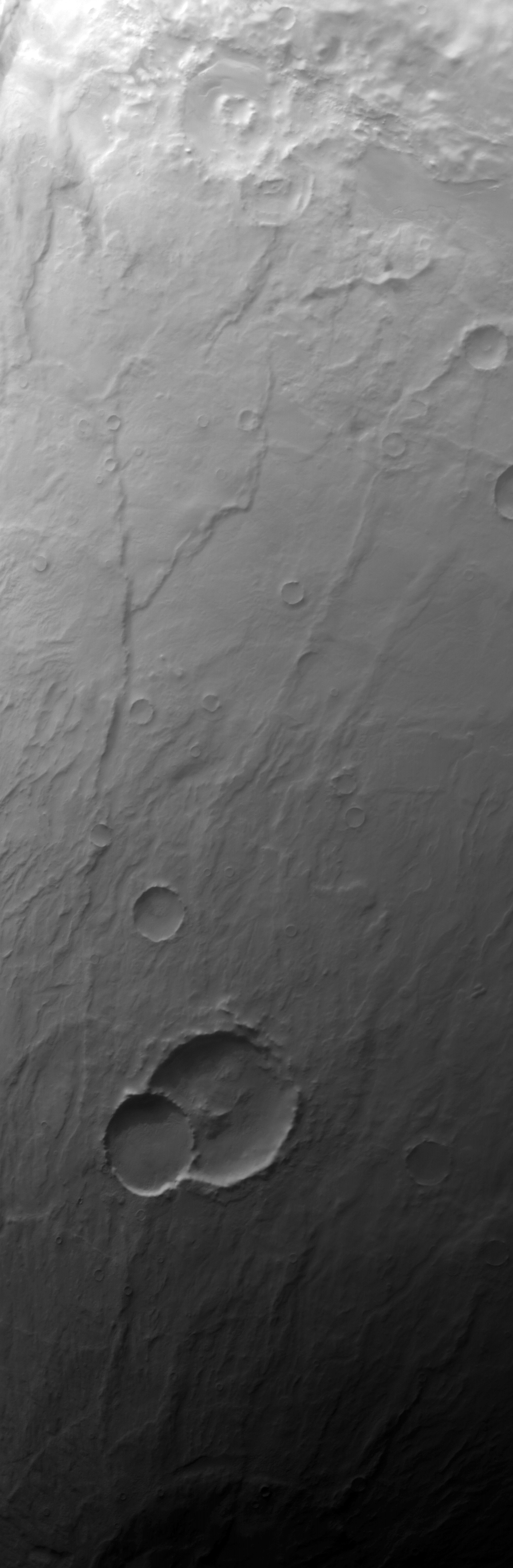
MOC wide-angle image E20-01044
Red WA Hellas Planitia survey
Ancillary data for MOC wide-angle image E20-01044
Acquisition parameters
     Image ID (picno): E20-01044
     Image start time: 2002-09-19T20:34:21.31 SCET
         Image  width:    896      pixels
         Image height:   2736      pixels
Line integration time:     80.4800 millisec
   Pixel aspect ratio:      0.99
   Crosstrack summing:      1
    Downtrack summing:      1
     Compression type: MOC-NONE
            Gain mode:     2A (hexadecimal)
          Offset mode:      5 (decimal)
|
Derived values
Longitude of image center: 299.98°W Latitude of image center: 53.12°S Scaled pixel width: 248.50 meters Scaled image width: 234.56 km Scaled image height: 674.92 km Solar longitude (Ls): 70.52° Local True Solar Time: 14.36 decimal hours Emission angle: 20.21° Incidence angle: 82.87° Phase angle: 72.44° North azimuth: 94.07° Sun azimuth: 61.29° Spacecraft altitude: 370.44 km Slant distance: 392.14 km |
Policy regarding use of processed images
Release date: 30 September 2003