 |
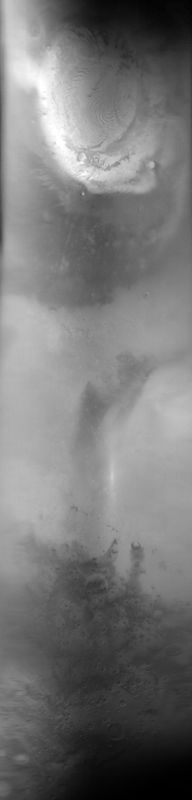
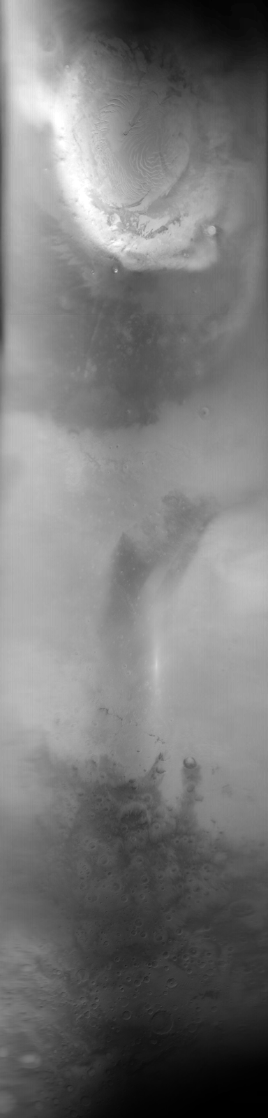
MOC global-map image E19-00585
global map swath
Ancillary data for MOC global-map image E19-00585
Acquisition parameters
     Image ID (picno): E19-00585
     Image start time: 2002-08-30T02:16:12.97 SCET
         Image  width:    384      pixels
         Image height:   1600      pixels
Line integration time:     80.4800 millisec
    Downtrack summing:     27
     Compression type: MOC-DCT-1
            Gain mode:     2A (hexadecimal)
          Offset mode:      5 (decimal)
|
Derived values
Longitude of image center: 235.88°W Latitude of image center: 26.44°N Scaled pixel width: 7166.02 meters Scaled image width: 0.00 km Scaled image height: 10265.55 km Solar longitude (Ls): 61.45° Local True Solar Time: 13.58 decimal hours Emission angle: 17.69° Incidence angle: 28.43° Phase angle: 32.31° North azimuth: 93.87° Sun azimuth: 1.51° Spacecraft altitude: 403.84 km Slant distance: 421.59 km |
Policy regarding use of processed images
Release date: 30 September 2003