 |
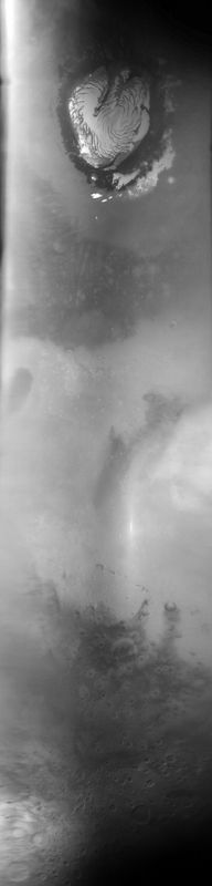
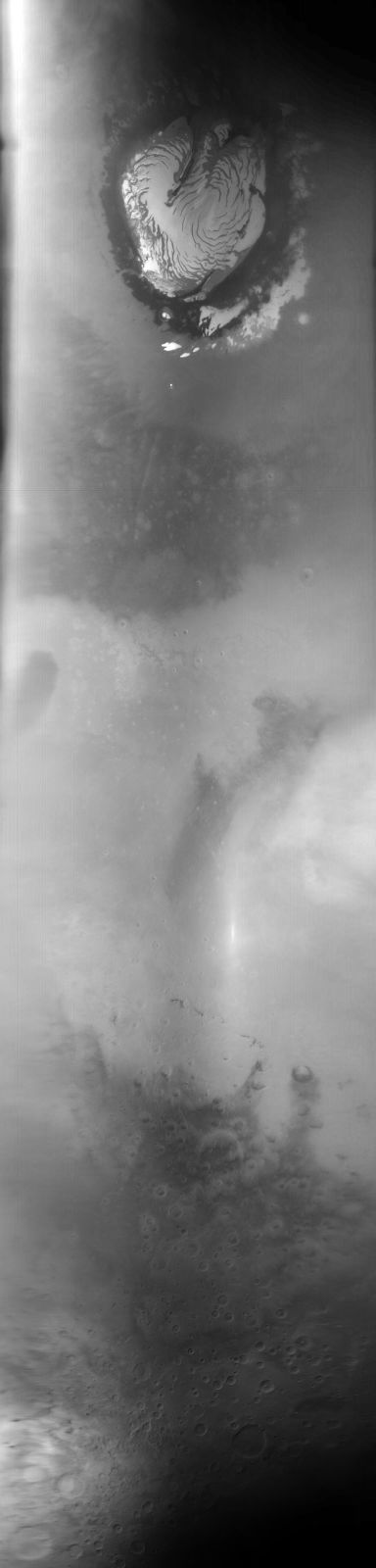
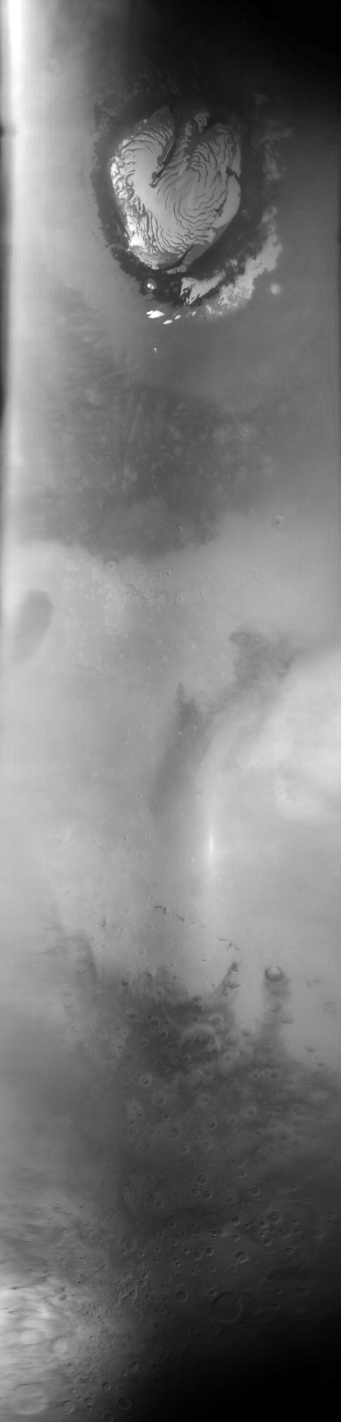
MOC global-map image S01-00481
global map swath
Ancillary data for MOC global-map image S01-00481
Acquisition parameters
     Image ID (picno): S01-00481
     Image start time: 2004-12-12T11:07:32.40 SCET
         Image  width:    384      pixels
         Image height:   1600      pixels
Line integration time:     80.4800 millisec
    Downtrack summing:     27
     Compression type: MOC-DCT-1
            Gain mode:     3A (hexadecimal)
          Offset mode:      5 (decimal)
|
Derived values
Longitude of image center: 239.71°W Latitude of image center: 26.84°N Scaled pixel width: 7171.90 meters Scaled image width: 0.00 km Scaled image height: 10259.19 km Solar longitude (Ls): 127.99° Local True Solar Time: 14.16 decimal hours Emission angle: 17.41° Incidence angle: 36.86° Phase angle: 39.55° North azimuth: 93.78° Sun azimuth: 1.02° Spacecraft altitude: 404.77 km Slant distance: 421.99 km |
Policy regarding use of processed images
Release date: 12 October 2005