 |
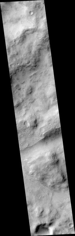
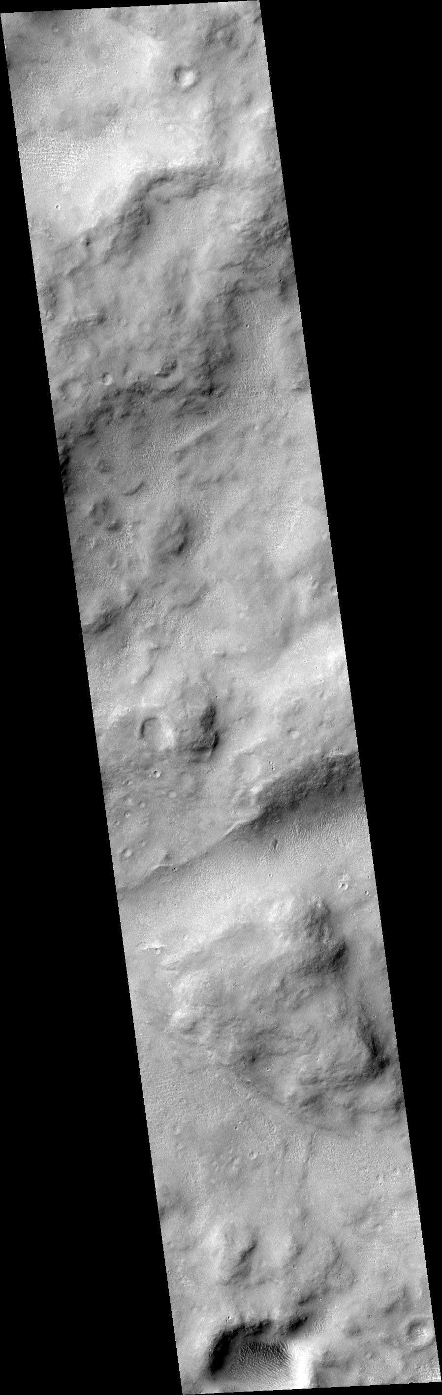
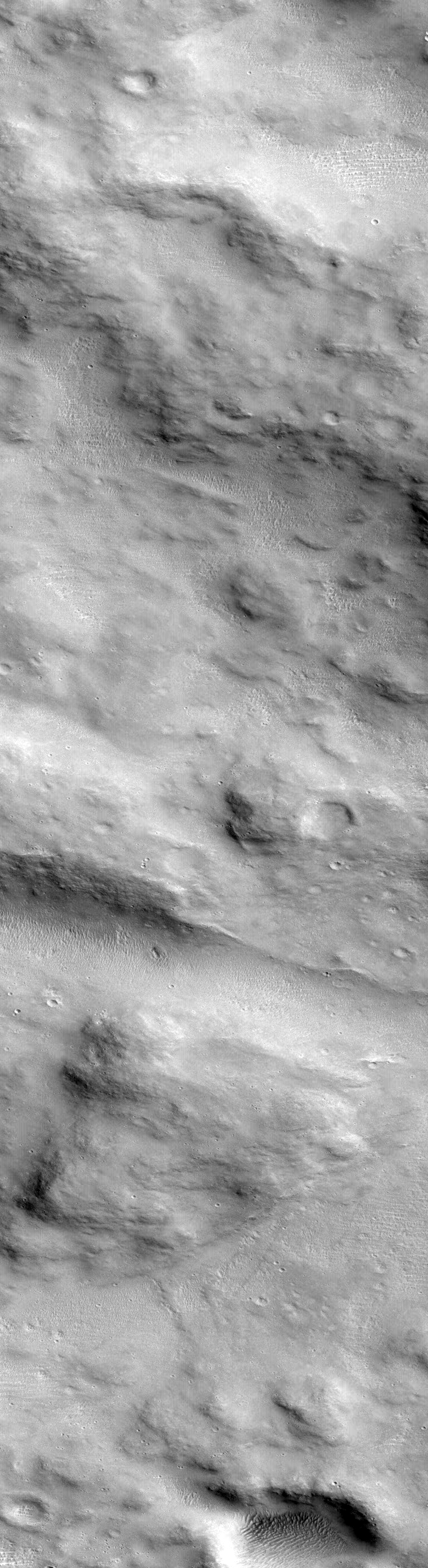
MOC narrow-angle image R22-00670
Ridges on intercrater highlands south of Aeolis/Nepenthes Mensae
| MOC narrow-angle image R22-00670 Map projection is sinusoidal, using 233.61 degrees W as prime meridian |
|---|
 |
| MOC narrow-angle image R22-00670 Map projection is sinusoidal, using 233.61 degrees W as prime meridian |
| View full-size processed and map-projected image (lossy JPEG, medium quality, rapid download) |
| View full-size processed and map-projected image (lossless GIF, best quality, slow download) |
| View full-size image, processed but NOT map-projected (lossy JPEG, medium quality, rapid download) |
| View full-size image, processed but NOT map-projected (lossless GIF, best quality, slow download) |
| Download processed image in PDS .IMG format |
| Download compressed raw data in PDS .IMQ format |
Ancillary data for MOC narrow-angle image R22-00670
Acquisition parameters
     Image ID (picno): R22-00670
     Image start time: 2004-10-11T19:43:07.65 SCET
         Image  width:    768      pixels
         Image height:   2816      pixels
Line integration time:      0.7231 millisec
   Pixel aspect ratio:      1.46
   Crosstrack summing:      2
    Downtrack summing:      2
     Compression type: MOC-DCT-3
            Gain mode:     6A (hexadecimal)
          Offset mode:     26 (decimal)
|
Derived values
Longitude of image center: 233.61°W Latitude of image center: 0.61°S Scaled pixel width: 3.03 meters Scaled image width: 2.33 km Scaled image height: 12.49 km Solar longitude (Ls): 99.56° Local True Solar Time: 14.60 decimal hours Emission angle: 18.10° Incidence angle: 45.62° Phase angle: 36.31° North azimuth: 92.89° Sun azimuth: 39.61° Spacecraft altitude: 385.40 km Slant distance: 403.25 km |
Policy regarding use of processed images
Release date: 12 October 2005