 |
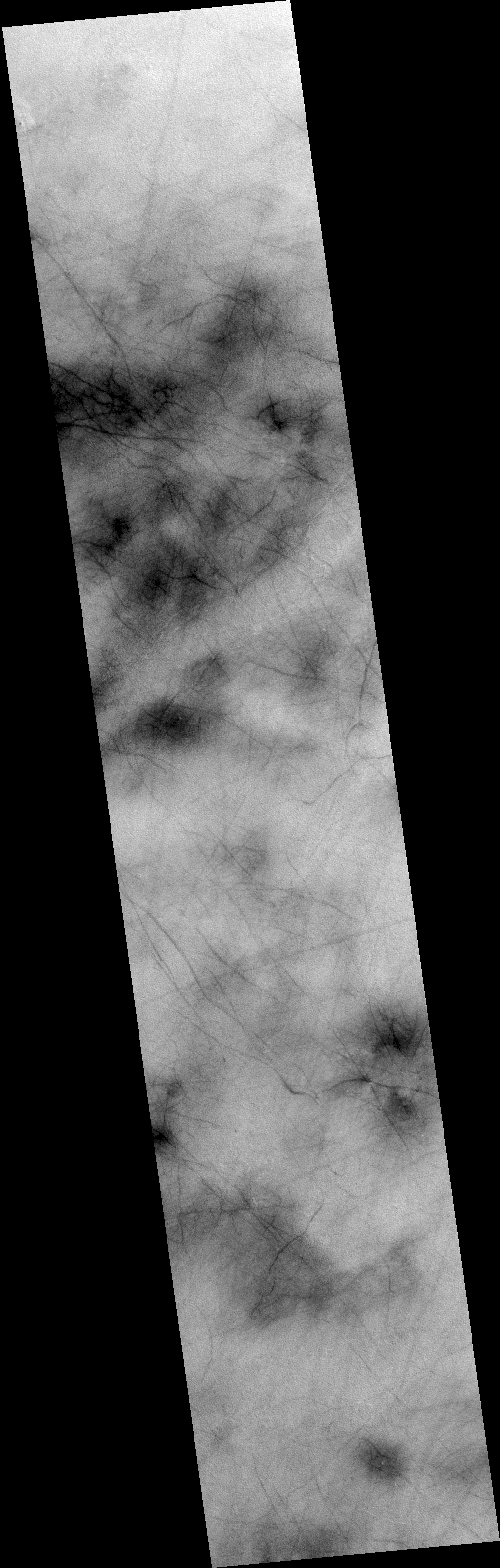
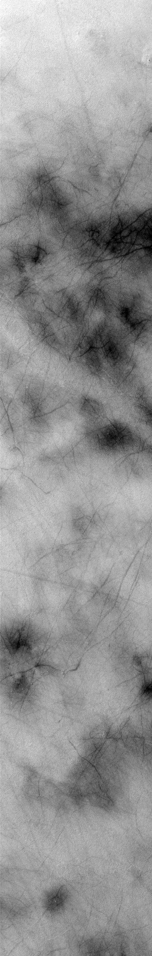
MOC narrow-angle image R22-00514
Northern Acidalia Planitia surfaces
| MOC narrow-angle image R22-00514 Map projection is sinusoidal, using 17.28 degrees W as prime meridian |
|---|
 |
| MOC narrow-angle image R22-00514 Map projection is sinusoidal, using 17.28 degrees W as prime meridian |
| View full-size processed and map-projected image (lossy JPEG, medium quality, rapid download) |
| View full-size processed and map-projected image (lossless GIF, best quality, slow download) |
| View full-size image, processed but NOT map-projected (lossy JPEG, medium quality, rapid download) |
| View full-size image, processed but NOT map-projected (lossless GIF, best quality, slow download) |
| Download processed image in PDS .IMG format |
| Download compressed raw data in PDS .IMQ format |
Ancillary data for MOC narrow-angle image R22-00514
Acquisition parameters
     Image ID (picno): R22-00514
     Image start time: 2004-10-09T03:16:27.07 SCET
         Image  width:    512      pixels
         Image height:   3200      pixels
Line integration time:      0.4821 millisec
   Pixel aspect ratio:      0.86
   Crosstrack summing:      4
    Downtrack summing:      4
     Compression type: MOC-PRED-X-5
            Gain mode:     6A (hexadecimal)
          Offset mode:     24 (decimal)
|
Derived values
Longitude of image center: 17.28°W Latitude of image center: 57.70°N Scaled pixel width: 6.64 meters Scaled image width: 3.41 km Scaled image height: 18.32 km Solar longitude (Ls): 98.36° Local True Solar Time: 14.30 decimal hours Emission angle: 18.13° Incidence angle: 40.97° Phase angle: 52.64° North azimuth: 95.32° Sun azimuth: 327.04° Spacecraft altitude: 426.18 km Slant distance: 445.79 km |
Policy regarding use of processed images
Release date: 12 October 2005