 |
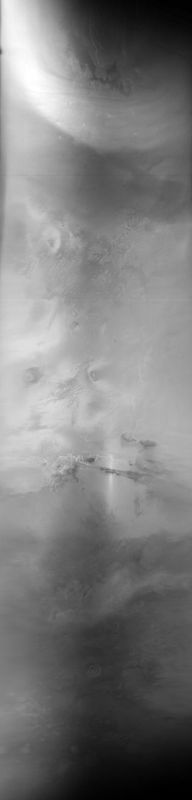
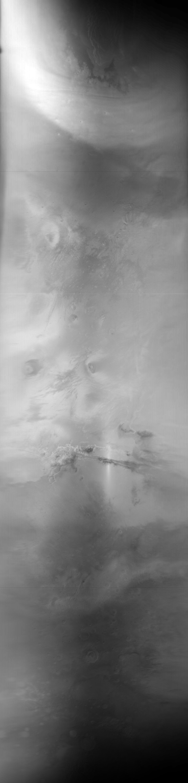
MOC global-map image R16-00361
global map swath
Ancillary data for MOC global-map image R16-00361
Acquisition parameters
     Image ID (picno): R16-00361
     Image start time: 2004-04-05T07:58:00.40 SCET
         Image  width:    384      pixels
         Image height:   1600      pixels
Line integration time:     80.4800 millisec
    Downtrack summing:     27
     Compression type: MOC-DCT-1
            Gain mode:     3A (hexadecimal)
          Offset mode:      5 (decimal)
|
Derived values
Longitude of image center: 89.63°W Latitude of image center: 8.18°N Scaled pixel width: 6960.94 meters Scaled image width: 0.00 km Scaled image height: 10479.17 km Solar longitude (Ls): 14.94° Local True Solar Time: 13.30 decimal hours Emission angle: 17.47° Incidence angle: 26.56° Phase angle: 30.79° North azimuth: 93.66° Sun azimuth: 1.42° Spacecraft altitude: 391.74 km Slant distance: 408.59 km |
Policy regarding use of processed images
Release date: 6 April 2005