 |
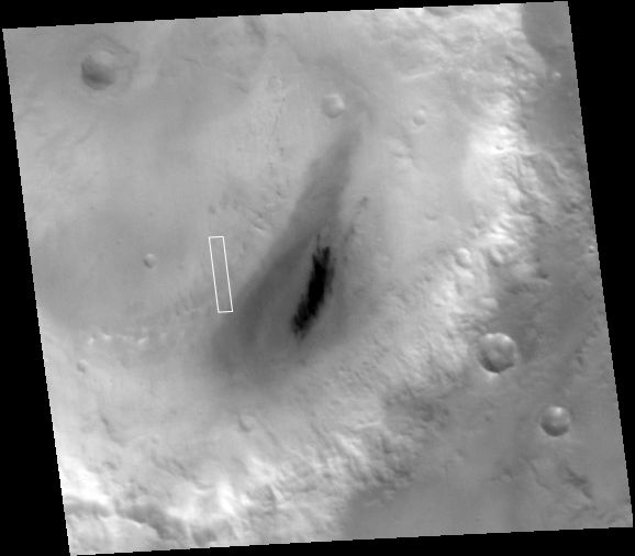
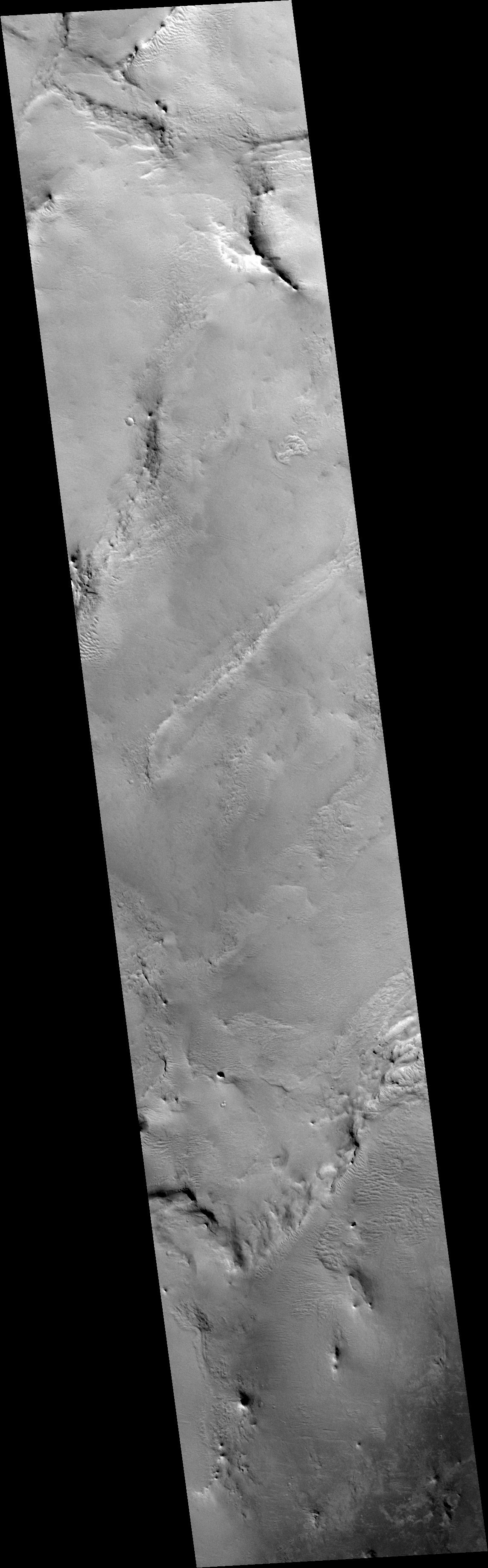
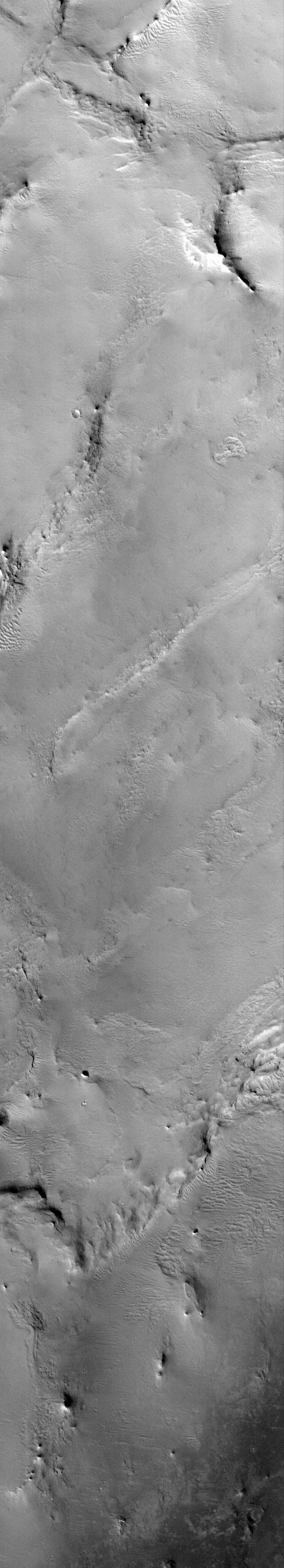
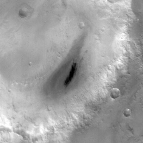
MOC narrow-angle image R12-01733
Mantled layered material in Henry Crater

Ancillary data for MOC narrow-angle image R12-01733
Acquisition parameters
     Image ID (picno): R12-01733
     Image start time: 2003-12-16T01:23:24.35 SCET
         Image  width:    672      pixels
         Image height:   3712      pixels
Line integration time:      0.4821 millisec
   Pixel aspect ratio:      0.97
   Crosstrack summing:      3
    Downtrack summing:      3
     Compression type: MOC-PRED-X-5
            Gain mode:     8A (hexadecimal)
          Offset mode:     24 (decimal)
|
Derived values
Longitude of image center: 336.64°W Latitude of image center: 10.43°N Scaled pixel width: 4.65 meters Scaled image width: 3.12 km Scaled image height: 16.73 km Solar longitude (Ls): 316.88° Local True Solar Time: 13.42 decimal hours Emission angle: 18.07° Incidence angle: 34.54° Phase angle: 49.44° North azimuth: 93.20° Sun azimuth: 311.09° Spacecraft altitude: 394.16 km Slant distance: 412.31 km |
Policy regarding use of processed images
Release date: 27 September 2004