 |
MOC global-map image R11-03345
global map swath

Ancillary data for MOC global-map image R11-03345
Acquisition parameters
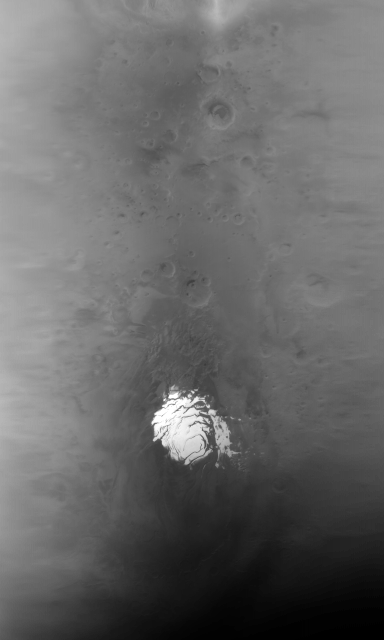
     Image ID (picno): R11-03345
     Image start time: 2003-11-20T16:24:45.87 SCET
         Image  width:    384      pixels
         Image height:   1600      pixels
Line integration time:     80.4800 millisec
    Downtrack summing:     27
     Compression type: MOC-NONE
            Gain mode:     5A (hexadecimal)
          Offset mode:      5 (decimal)
|
Derived values
Longitude of image center: 87.96°W Latitude of image center: 21.61°S Scaled pixel width: 9225.34 meters Scaled image width: 44.42 km Scaled image height: 10341.61 km Solar longitude (Ls): 302.06° Local True Solar Time: 13.43 decimal hours Emission angle: 35.83° Incidence angle: 26.54° Phase angle: 15.77° North azimuth: 93.79° Sun azimuth: 359.49° Spacecraft altitude: 376.81 km Slant distance: 453.23 km |
Policy regarding use of processed images
Release date: 27 September 2004