 |
MOC global-map image R08-02588
global map swath

Ancillary data for MOC global-map image R08-02588
Acquisition parameters
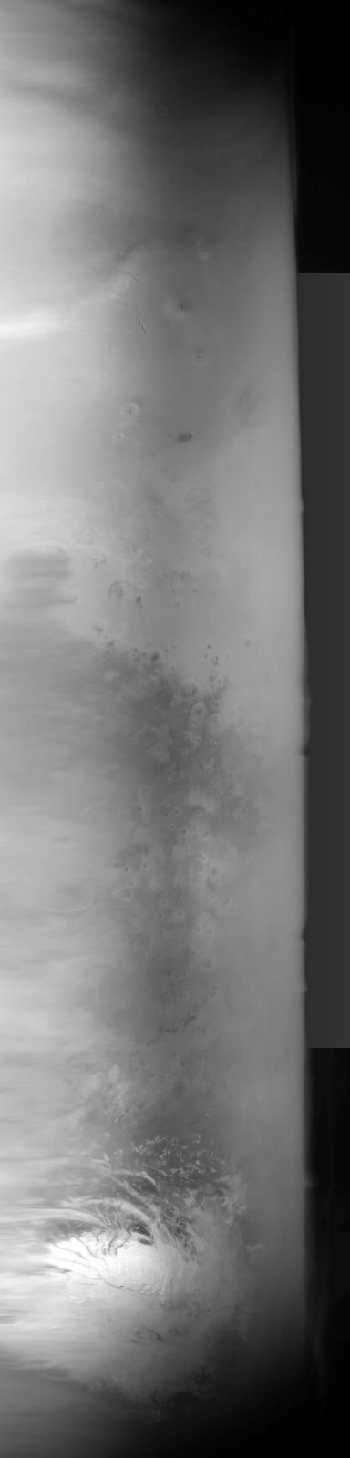
     Image ID (picno): R08-02588
     Image start time: 2003-08-29T18:55:12.80 SCET
         Image  width:    384      pixels
         Image height:   1600      pixels
Line integration time:     80.4800 millisec
    Downtrack summing:     27
     Compression type: MOC-NONE
            Gain mode:     6A (hexadecimal)
          Offset mode:      5 (decimal)
|
Derived values
Longitude of image center: 207.56°W Latitude of image center: 26.49°S Scaled pixel width: 6725.41 meters Scaled image width: 262.55 km Scaled image height: 10354.82 km Solar longitude (Ls): 250.58° Local True Solar Time: 14.03 decimal hours Emission angle: 18.51° Incidence angle: 34.02° Phase angle: 32.66° North azimuth: 92.50° Sun azimuth: 358.86° Spacecraft altitude: 374.34 km Slant distance: 392.57 km |
Policy regarding use of processed images
Release date: 20 April 2004