 |
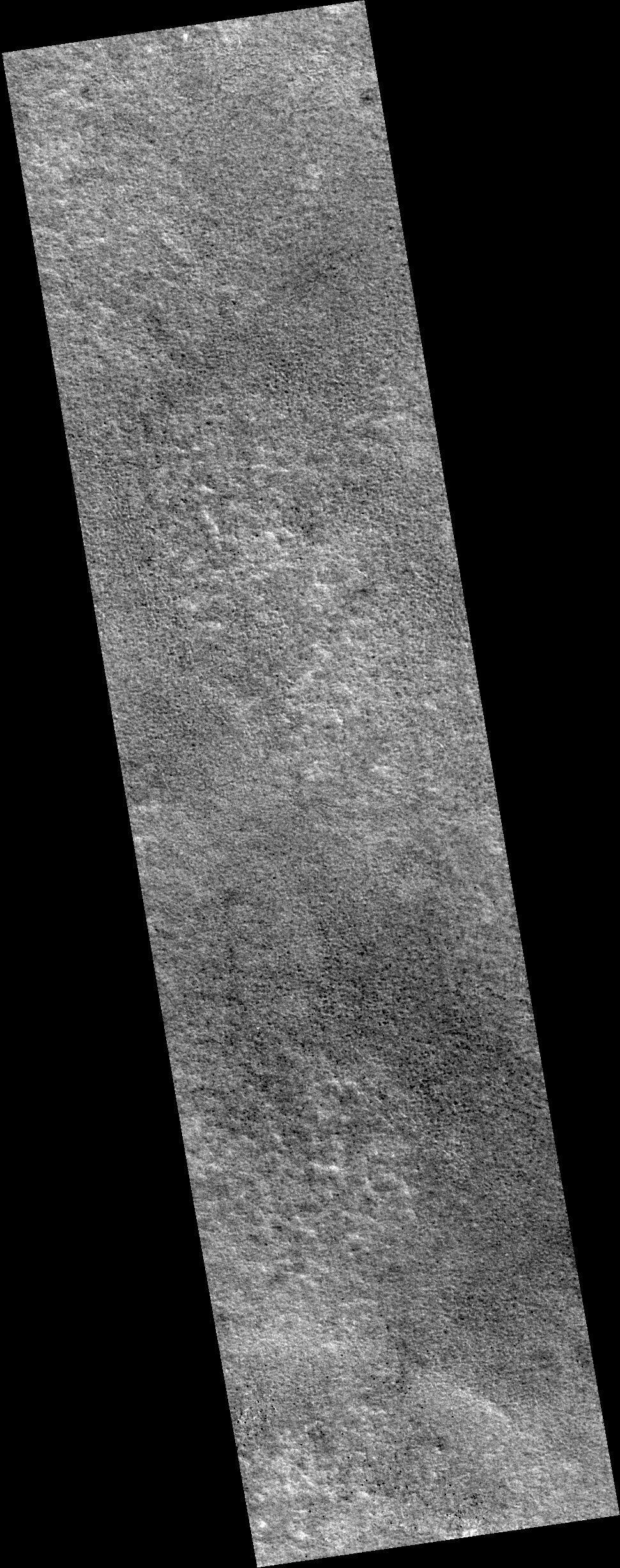
MOC narrow-angle image M19-01986
sample
| MOC narrow-angle image M19-01986 Map projection is sinusoidal, using 171.89 degrees W as prime meridian |
|---|
 |
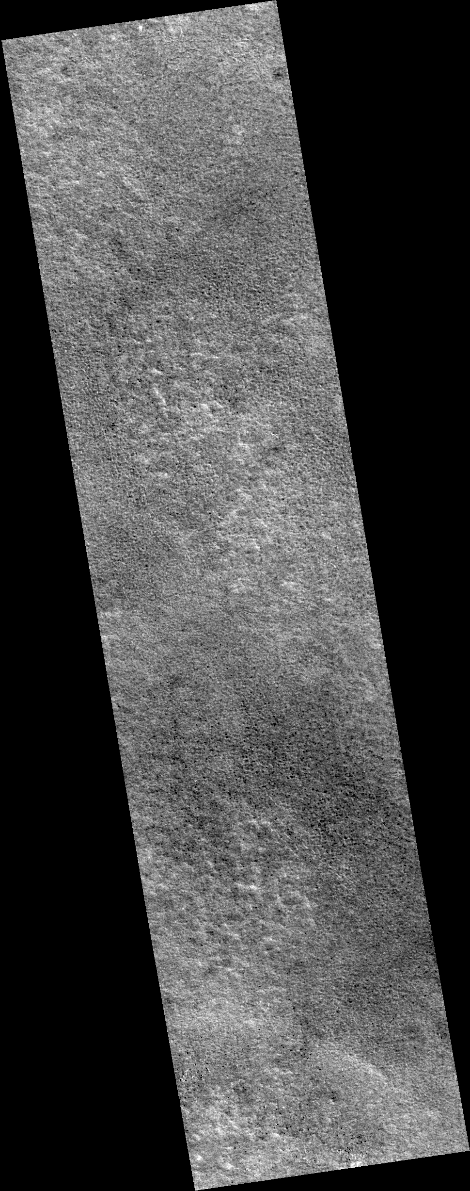
| MOC narrow-angle image M19-01986 Map projection is sinusoidal, using 171.89 degrees W as prime meridian |
| View full-size processed and map-projected image (lossy JPEG, medium quality, rapid download) |
| View full-size processed and map-projected image (lossless GIF, best quality, slow download) |
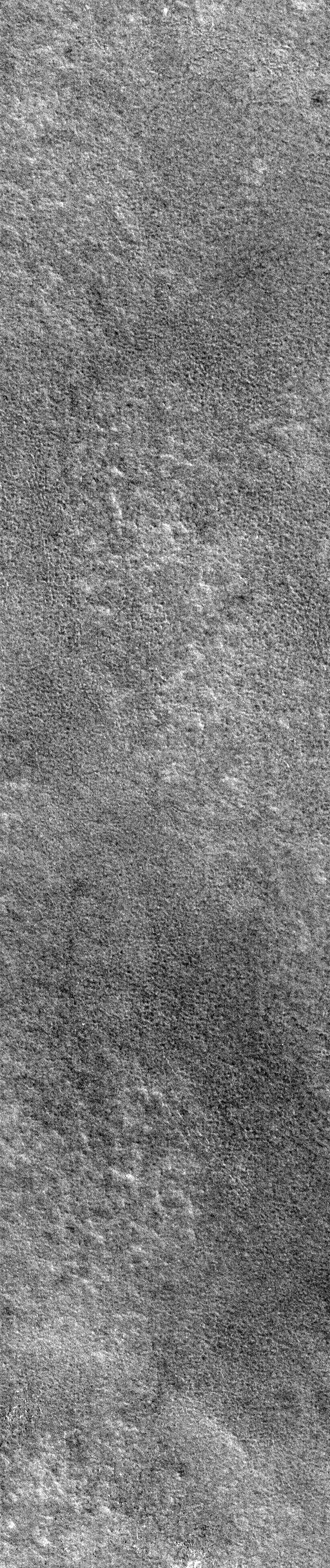
| View full-size image, processed but NOT map-projected (lossy JPEG, medium quality, rapid download) |
| View full-size image, processed but NOT map-projected (lossless GIF, best quality, slow download) |
| Download processed image in PDS .IMG format |
| Download compressed raw data in PDS .IMQ format |
Ancillary data for MOC narrow-angle image M19-01986
Acquisition parameters
     Image ID (picno): M19-01986
     Image start time: 2000-09-29T04:31:16.25 SCET
         Image  width:    512      pixels
         Image height:   2432      pixels
Line integration time:      0.4821 millisec
   Pixel aspect ratio:      0.88
   Crosstrack summing:      2
    Downtrack summing:      2
     Compression type: MOC-PRED-X-5
            Gain mode:     4A (hexadecimal)
          Offset mode:     30 (decimal)
|
Derived values
Longitude of image center: 171.89°W Latitude of image center: 69.58°N Scaled pixel width: 3.21 meters Scaled image width: 1.65 km Scaled image height: 6.92 km Solar longitude (Ls): 55.77° Local True Solar Time: 13.48 decimal hours Emission angle: 0.26° Incidence angle: 50.79° Phase angle: 50.89° North azimuth: 98.28° Sun azimuth: 305.48° Spacecraft altitude: 431.51 km Slant distance: 431.51 km |
Policy regarding use of processed images
Release date: 8 October 2001