Mars Global Surveyor Mars Orbiter Camera Image Gallery
Wide Angle Gallery (M13 - M18)
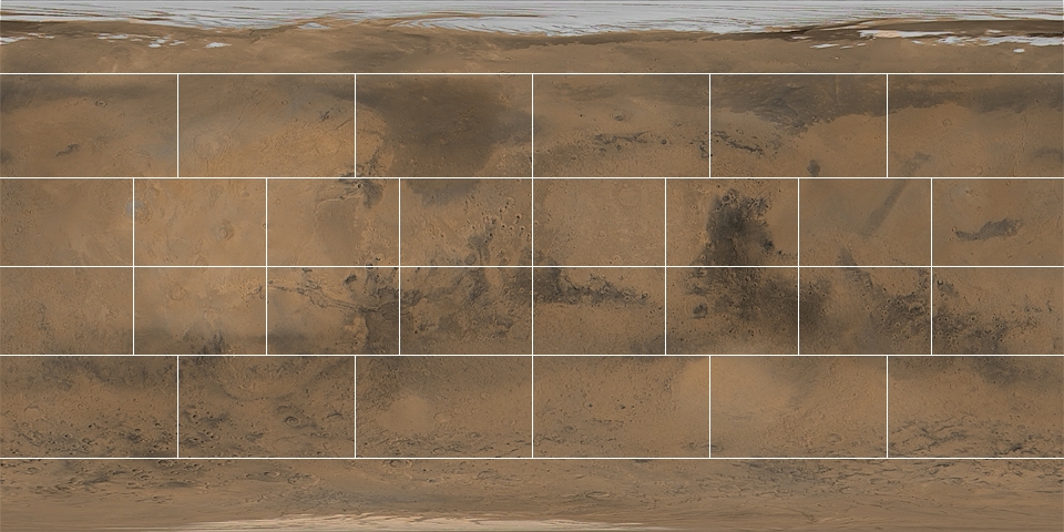
This gallery is arranged by Mars Chart (the 1:5,000,000 series of maps
produced by the U. S. Geological Survey). Click on a region of
interest, below, to bring up a listing of wide angle camera views for
that region (a listing is used rather than a map because of the
complex overlap and large areal extent of the wide angle images).
Images in each Mars Chart are listed by mission subphase (time period);
select images by their identification number under each subphase.
Images that include the limb of Mars
or other targets off the surface of Mars cannot be sensibly
map-projected and are kept in a separate, non-regional list.

About The Processed MOC Images


