 |
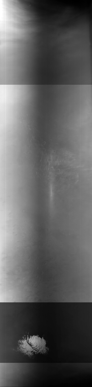
MOC global-map image M11-04287
global map swath
| MOC global-map image M11-04287 |
|---|
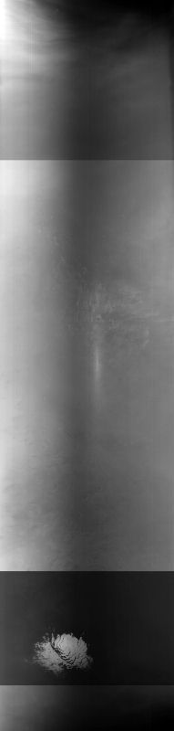 |
| MOC global-map image M11-04287 |
| View full-size image, processed but NOT map-projected |
| Download processed image in PDS .IMG format |
| Download compressed raw data in PDS .IMQ format |
Ancillary data for MOC global-map image M11-04287
Acquisition parameters
     Image ID (picno): M11-04287
     Image start time: 2000-01-30T21:40:31.62 SCET
         Image  width:    384      pixels
         Image height:   1600      pixels
Line integration time:     80.4800 millisec
    Downtrack summing:     27
     Compression type: MOC-NONE
            Gain mode:     56 (hexadecimal)
          Offset mode:      5 (decimal)
|
Derived values
Longitude of image center: 241.04°W Latitude of image center: 23.45°S Scaled pixel width: 6397.54 meters Scaled image width: 0.00 km Scaled image height: 10325.29 km Solar longitude (Ls): 292.54° Local True Solar Time: 13.03 decimal hours Emission angle: 0.99° Incidence angle: 20.75° Phase angle: 20.90° North azimuth: 93.22° Sun azimuth: 359.52° Spacecraft altitude: 374.28 km Slant distance: 374.33 km |
Policy regarding use of processed images
Release date: 16 October 2000