 |
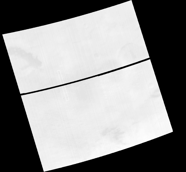
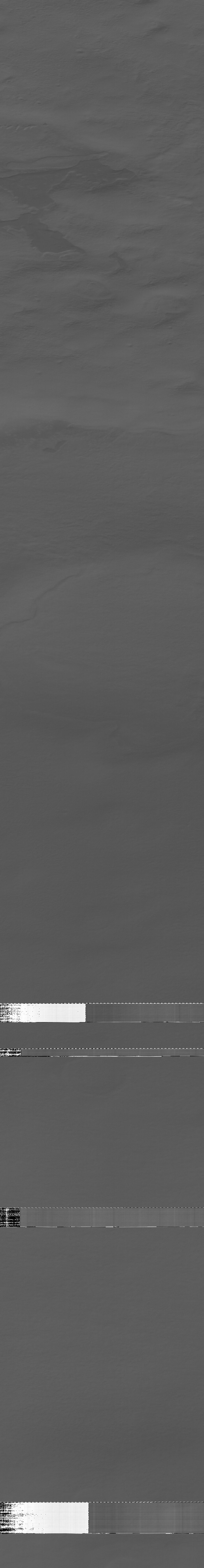
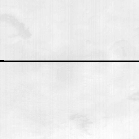
MOC narrow-angle image M10-02982
South polar material/cratered highland contact


Ancillary data for MOC narrow-angle image M10-02982
Acquisition parameters
     Image ID (picno): M10-02982
     Image start time: 1999-12-26T01:05:18.48 SCET
         Image  width:    768      pixels
         Image height:   5888      pixels
Line integration time:      0.7231 millisec
   Pixel aspect ratio:      1.59
   Crosstrack summing:      2
    Downtrack summing:      2
     Compression type: MOC-PRED-X-5
            Gain mode:     6A (hexadecimal)
          Offset mode:     32 (decimal)
|
Derived values
Longitude of image center: 257.89°W Latitude of image center: 77.89°S Scaled pixel width: 2.76 meters Scaled image width: 2.13 km Scaled image height: 25.99 km Solar longitude (Ls): 270.33° Local True Solar Time: 14.71 decimal hours Emission angle: 0.09° Incidence angle: 55.95° Phase angle: 55.98° North azimuth: 104.26° Sun azimuth: 58.74° Spacecraft altitude: 371.37 km Slant distance: 371.37 km |
Policy regarding use of processed images
Release date: 16 October 2000