 |
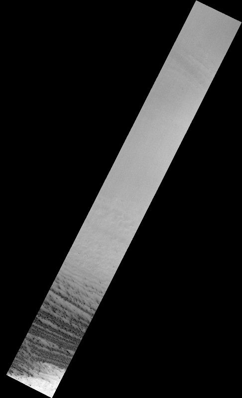
MOC narrow-angle image M07-01879
Sample layered terrain just off edge of permanent south pole cap
Ancillary data for MOC narrow-angle image M07-01879
Acquisition parameters
     Image ID (picno): M07-01879
     Image start time: 1999-09-10T23:50:27.42 SCET
         Image  width:    512      pixels
         Image height:   3968      pixels
Line integration time:      0.4821 millisec
   Pixel aspect ratio:      1.06
   Crosstrack summing:      4
    Downtrack summing:      4
     Compression type: MOC-PRED-X-5
            Gain mode:     0A (hexadecimal)
          Offset mode:      4 (decimal)
|
Derived values
Longitude of image center: 40.71°W Latitude of image center: 83.59°S Scaled pixel width: 5.51 meters Scaled image width: 2.83 km Scaled image height: 23.32 km Solar longitude (Ls): 203.97° Local True Solar Time: 0.90 decimal hours Emission angle: 0.17° Incidence angle: 86.27° Phase angle: 86.19° North azimuth: 243.58° Sun azimuth: 50.15° Spacecraft altitude: 371.12 km Slant distance: 371.12 km |
Policy regarding use of processed images
Release date: 16 October 2000