Mars Global Surveyor Mars Orbiter Camera Image Gallery
Narrow Angle Gallery (E19 - R02)
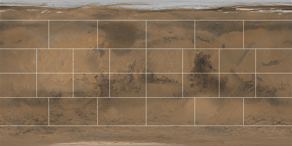
This gallery is arranged by Mars Chart (the 1:5,000,000 series of maps
produced by the U. S. Geological Survey). Click on a region of
interest, below, to bring up a higher resolution version of the
basemap, on which are indicated the locations of high-resolution
images acquired by the Mars Orbiter Camera. Click on an image
"footprint" to view processed versions of the image, context frames,
and tabular data describing the image.
About The Processed MOC Images
