 |
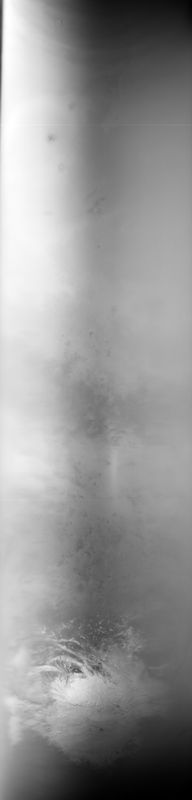
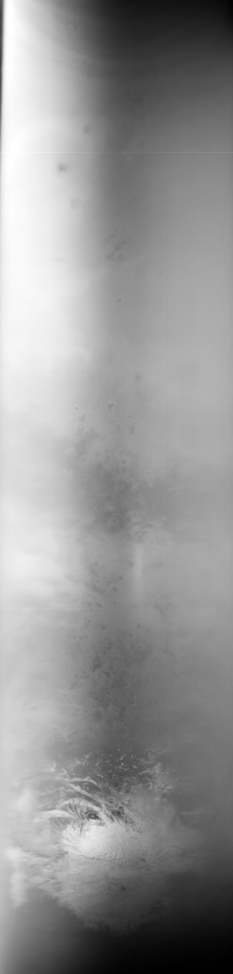
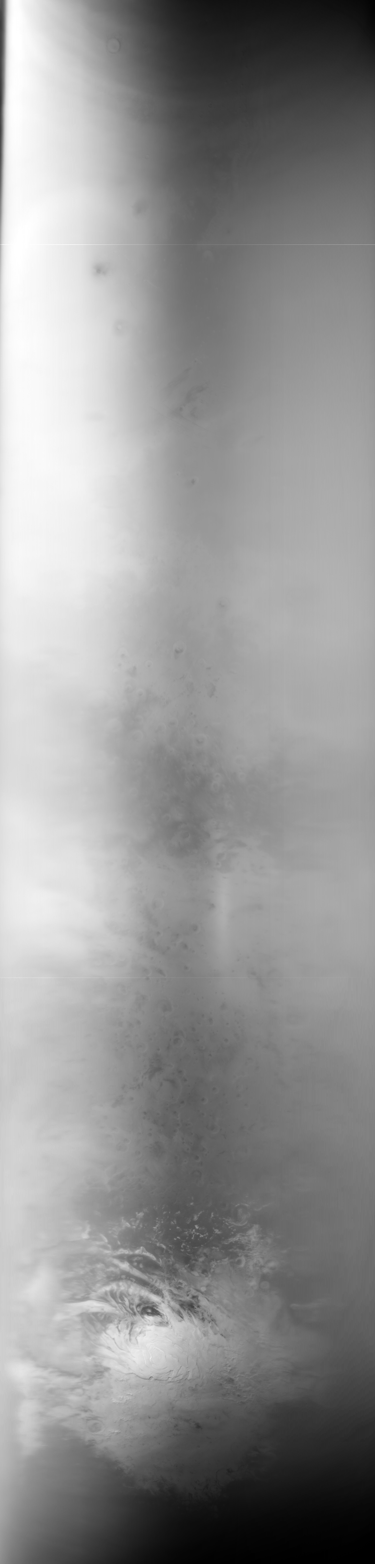
MOC global-map image E09-00859
global map swath
Ancillary data for MOC global-map image E09-00859
Acquisition parameters
     Image ID (picno): E09-00859
     Image start time: 2001-10-12T09:05:26.06 SCET
         Image  width:    768      pixels
         Image height:   3312      pixels
Line integration time:     80.4800 millisec
    Downtrack summing:     13
     Compression type: MOC-NONE
            Gain mode:     4A (hexadecimal)
          Offset mode:      5 (decimal)
|
Derived values
Longitude of image center: 195.17°W Latitude of image center: 26.70°S Scaled pixel width: 3213.89 meters Scaled image width: 0.00 km Scaled image height: 10271.63 km Solar longitude (Ls): 250.94° Local True Solar Time: 13.79 decimal hours Emission angle: 17.73° Incidence angle: 30.71° Phase angle: 34.49° North azimuth: 93.55° Sun azimuth: 1.52° Spacecraft altitude: 376.57 km Slant distance: 393.33 km |
Policy regarding use of processed images
Release date: 7 October 2002