 |
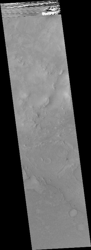
MOC narrow-angle image M02-00926
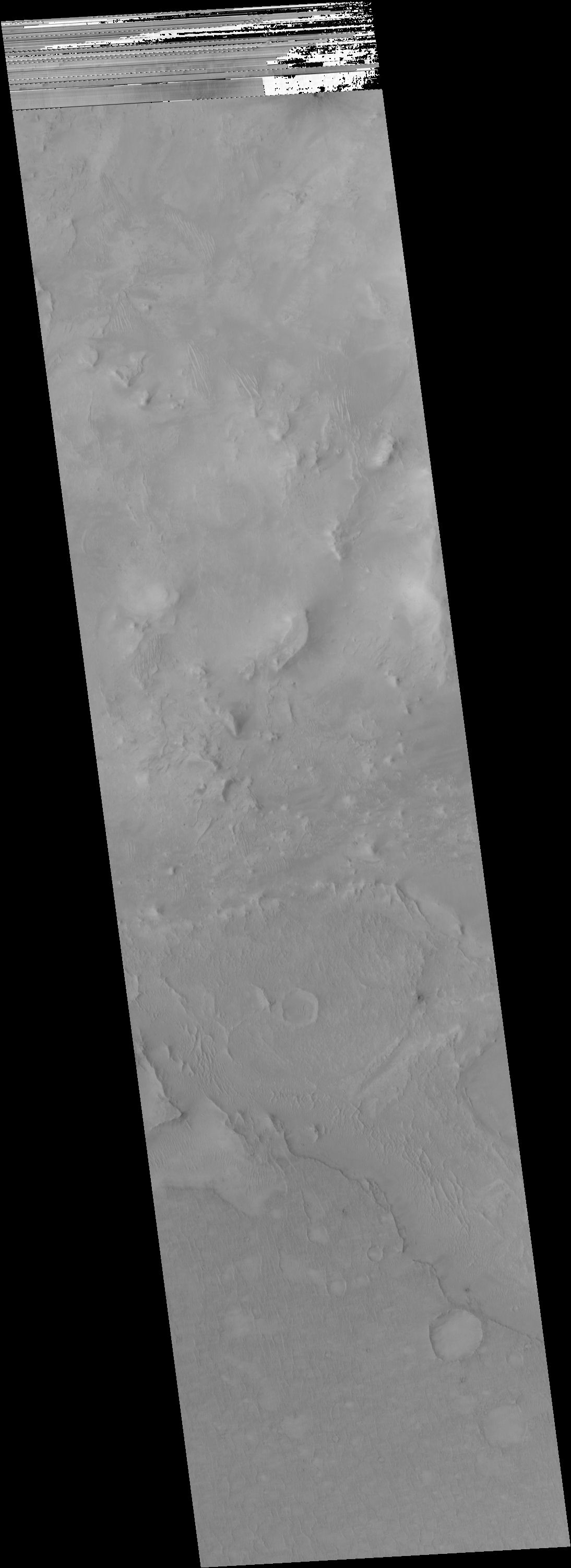
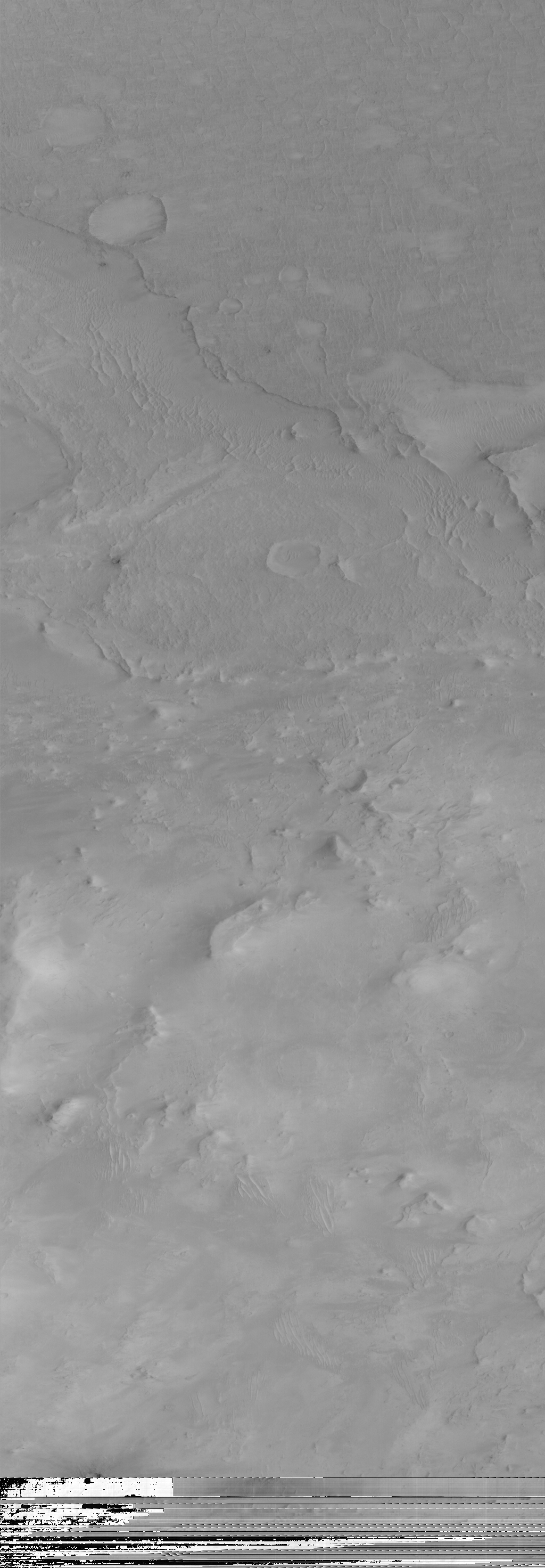
Scabby layered terrain
.IMG and .IMQ as MIME type application/octet-stream
and to save them to disk.
Ancillary data for MOC narrow-angle image M02-00926
Acquisition parameters
     Image ID (picno): M02-00926
     Image start time: 1999-06-09T19:14:52.75 SCET
         Image  width:   1024      pixels
         Image height:   3200      pixels
Line integration time:      0.7231 millisec
   Pixel aspect ratio:      1.48
   Crosstrack summing:      2
    Downtrack summing:      2
     Compression type: MOC-PRED-X-5
            Gain mode:     8A (hexadecimal)
          Offset mode:     24 (decimal)
|
Derived values
Longitude of image center: 304.17°W Latitude of image center: 20.93°N Scaled pixel width: 2.99 meters Scaled image width: 3.06 km Scaled image height: 14.13 km Solar longitude (Ls): 151.93° Local True Solar Time: 14.51 decimal hours Emission angle: 0.14° Incidence angle: 37.31° Phase angle: 37.23° North azimuth: 93.27° Sun azimuth: 354.74° Spacecraft altitude: 397.85 km Slant distance: 397.85 km |
Policy regarding use of processed images
Release date: 22 May 2000