 |
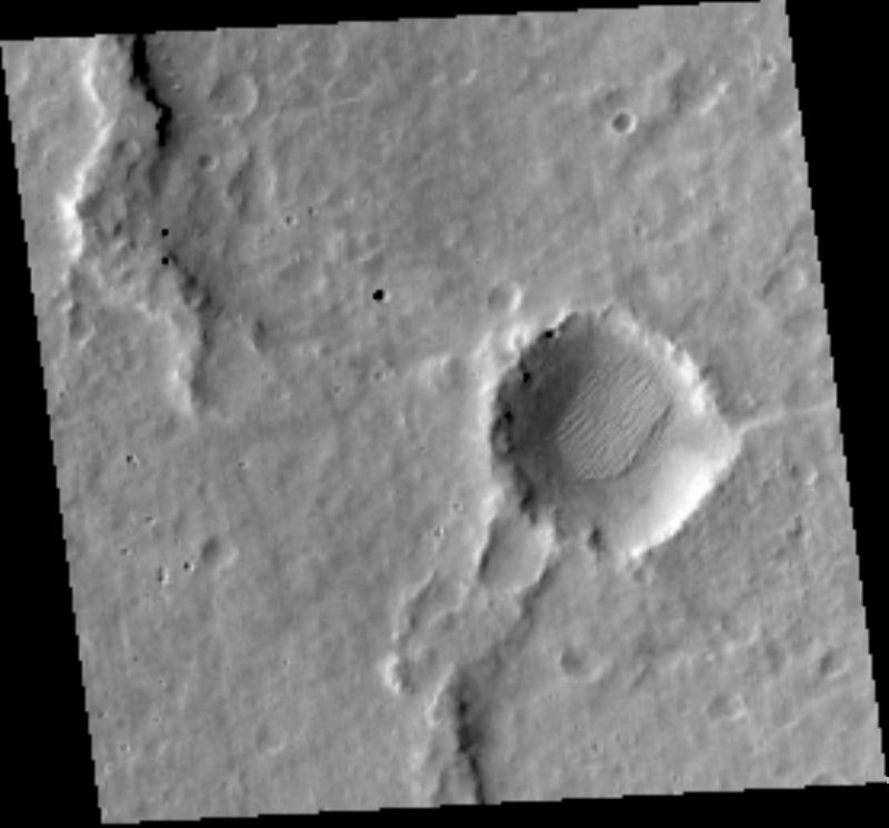
MOC narrow-angle image M01-05632
Science Campaign A (Geodesy)
.IMG and .IMQ as MIME type application/octet-stream
and to save them to disk.
Ancillary data for MOC narrow-angle image M01-05632
Acquisition parameters
     Image ID (picno): M01-05632
     Image start time: 1999-06-01T22:54:46.97 SCET
         Image  width:    256      pixels
         Image height:    256      pixels
Line integration time:      0.4821 millisec
   Pixel aspect ratio:      1.02
   Crosstrack summing:      8
    Downtrack summing:      8
     Compression type: MOC-NONE
            Gain mode:     EA (hexadecimal)
          Offset mode:     22 (decimal)
|
Derived values
Longitude of image center: 74.00°W Latitude of image center: 7.91°N Scaled pixel width: 11.67 meters Scaled image width: 2.98 km Scaled image height: 3.03 km Solar longitude (Ls): 147.91° Local True Solar Time: 14.54 decimal hours Emission angle: 0.18° Incidence angle: 37.82° Phase angle: 37.70° North azimuth: 93.03° Sun azimuth: 14.17° Spacecraft altitude: 388.01 km Slant distance: 388.01 km |
Policy regarding use of processed images
Release date: 22 May 2000