 |
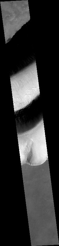
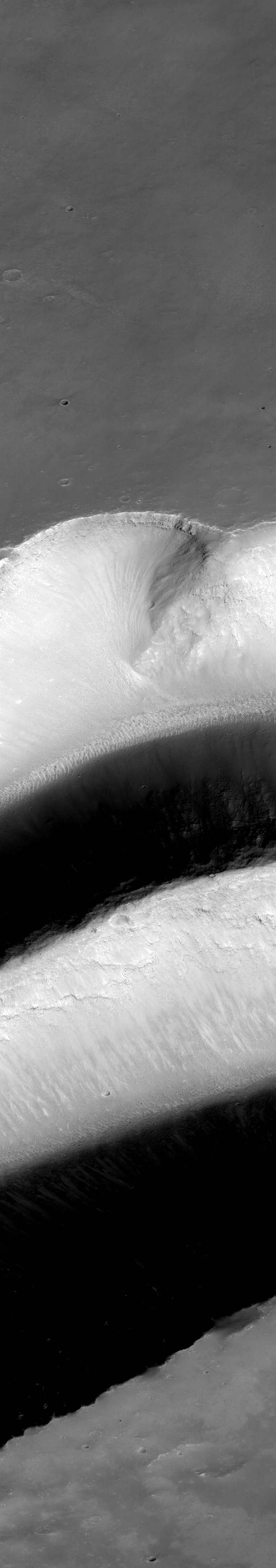
MOC narrow-angle image M01-00314
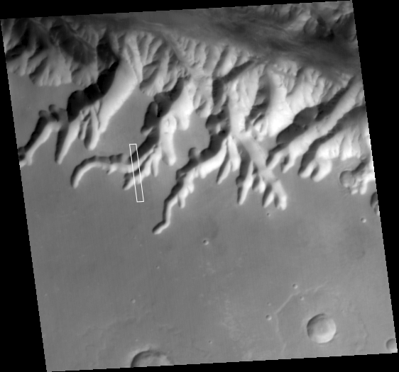
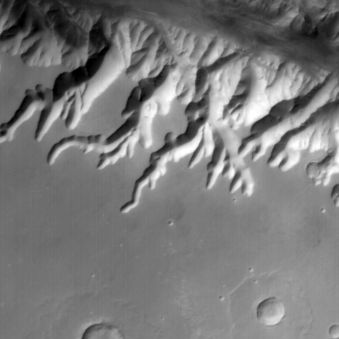
Cross tributary to Ius Chasma

.IMG and .IMQ as MIME type application/octet-stream
and to save them to disk.
Ancillary data for MOC narrow-angle image M01-00314
Acquisition parameters
     Image ID (picno): M01-00314
     Image start time: 1999-05-07T07:01:05.90 SCET
         Image  width:    768      pixels
         Image height:   4352      pixels
Line integration time:      0.7231 millisec
   Pixel aspect ratio:      1.56
   Crosstrack summing:      2
    Downtrack summing:      2
     Compression type: MOC-PRED-X-5
            Gain mode:     6A (hexadecimal)
          Offset mode:     38 (decimal)
|
Derived values
Longitude of image center: 81.85°W Latitude of image center: 9.12°S Scaled pixel width: 2.86 meters Scaled image width: 2.19 km Scaled image height: 19.43 km Solar longitude (Ls): 135.11° Local True Solar Time: 14.53 decimal hours Emission angle: 0.18° Incidence angle: 46.07° Phase angle: 46.03° North azimuth: 93.04° Sun azimuth: 38.29° Spacecraft altitude: 379.88 km Slant distance: 379.88 km |
Policy regarding use of processed images
Release date: 22 May 2000