 |
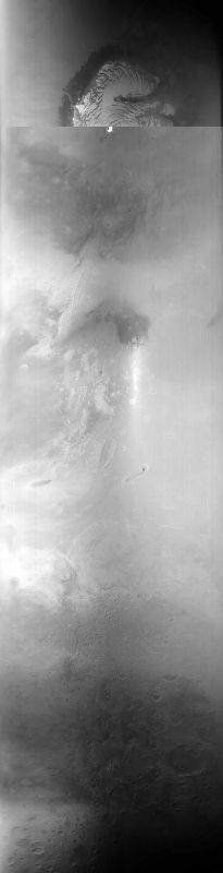
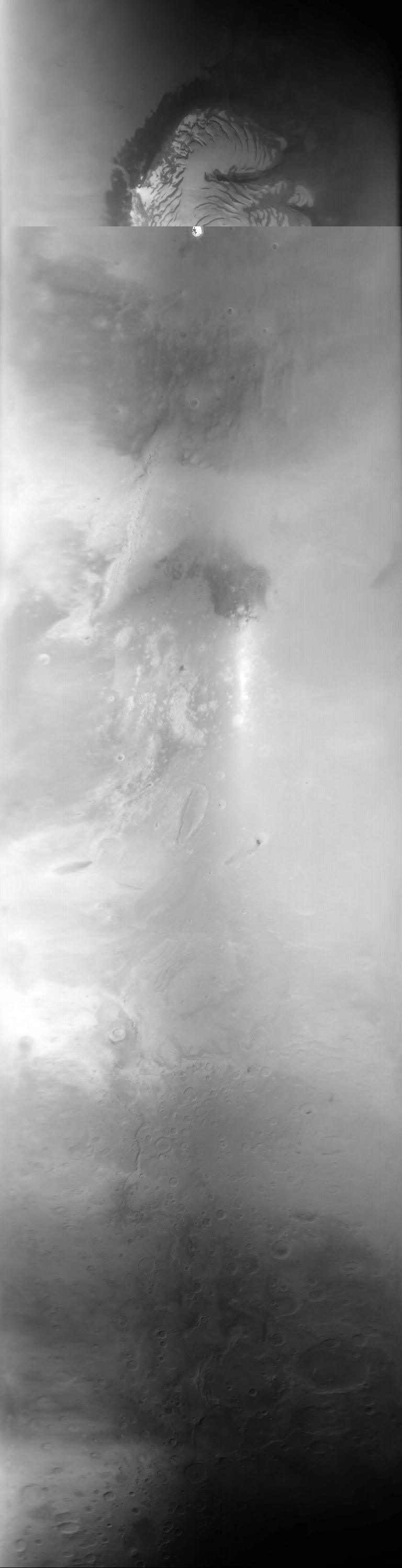
MOC global-map image M00-01760
global map swath
| MOC global-map image M00-01760 |
|---|
 |
| MOC global-map image M00-01760 |
| View full-size image, processed but NOT map-projected |
| Download processed image in PDS .IMG format |
| Download compressed raw data in PDS .IMQ format |
.IMG and .IMQ as MIME type application/octet-stream
and to save them to disk.
Ancillary data for MOC global-map image M00-01760
Acquisition parameters
     Image ID (picno): M00-01760
     Image start time: 1999-04-11T20:48:30.73 SCET
         Image  width:    768      pixels
         Image height:   3312      pixels
Line integration time:     80.4800 millisec
    Downtrack summing:     13
     Compression type: MOC-DCT-2
            Gain mode:     4A (hexadecimal)
          Offset mode:      5 (decimal)
|
Derived values
Longitude of image center: 182.39°W Latitude of image center: 26.08°N Scaled pixel width: 3259.41 meters Scaled image width: 0.00 km Scaled image height: 10268.57 km Solar longitude (Ls): 122.91° Local True Solar Time: 13.88 decimal hours Emission angle: 0.38° Incidence angle: 32.74° Phase angle: 32.40° North azimuth: 93.26° Sun azimuth: 1.78° Spacecraft altitude: 399.32 km Slant distance: 399.33 km |
Policy regarding use of processed images
Release date: 22 May 2000