 |
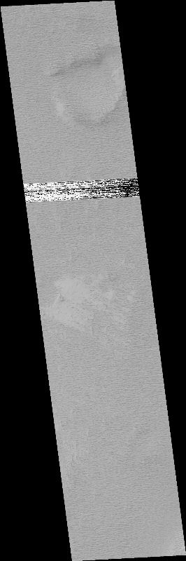
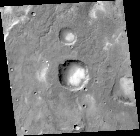
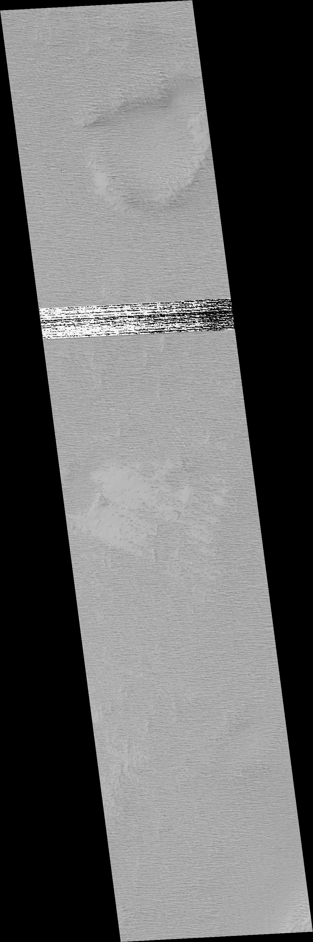
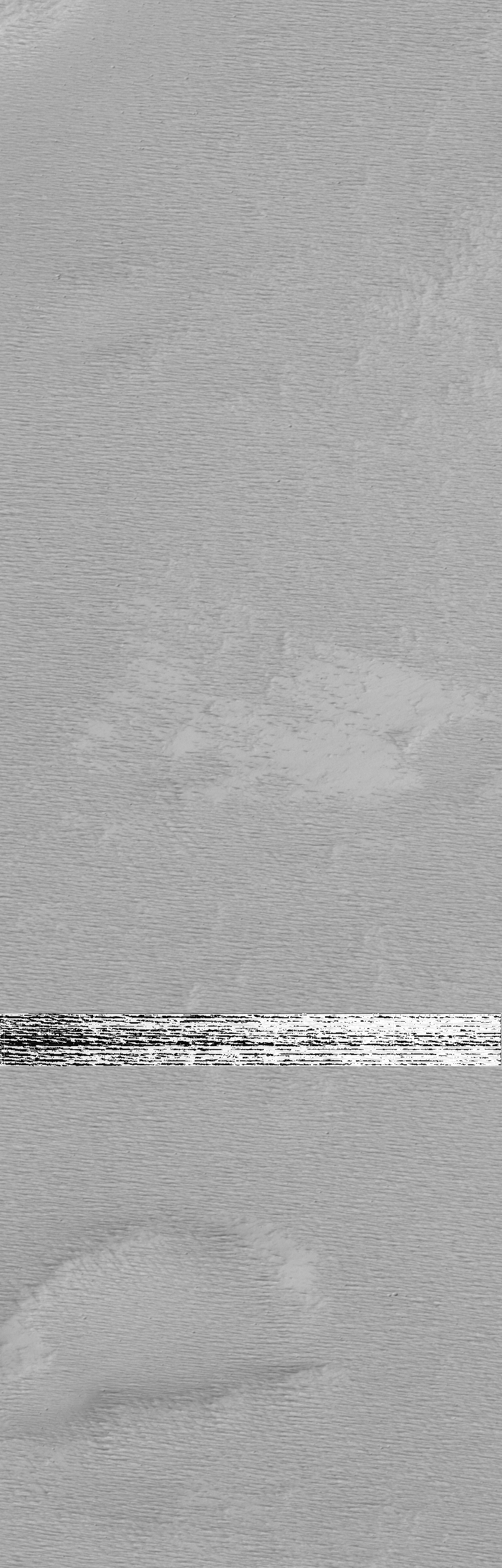
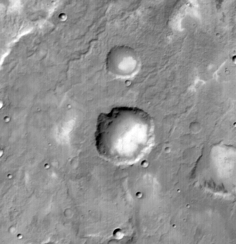
MOC narrow-angle image M00-01030
Sample intercrater plain in relatively dark unit in northern Memnonia
.IMG and .IMQ as MIME type application/octet-stream
and to save them to disk.
Ancillary data for MOC narrow-angle image M00-01030
Acquisition parameters
     Image ID (picno): M00-01030
     Image start time: 1999-04-07T17:04:03.65 SCET
         Image  width:   1024      pixels
         Image height:   3200      pixels
Line integration time:      0.7231 millisec
   Pixel aspect ratio:      1.58
   Crosstrack summing:      1
    Downtrack summing:      1
     Compression type: MOC-PRED-X-5
            Gain mode:     2A (hexadecimal)
          Offset mode:     30 (decimal)
|
Derived values
Longitude of image center: 157.32°W Latitude of image center: 11.86°S Scaled pixel width: 1.42 meters Scaled image width: 1.45 km Scaled image height: 7.14 km Solar longitude (Ls): 120.96° Local True Solar Time: 14.47 decimal hours Emission angle: 0.25° Incidence angle: 49.39° Phase angle: 49.34° North azimuth: 93.05° Sun azimuth: 45.21° Spacecraft altitude: 376.62 km Slant distance: 376.63 km |
Policy regarding use of processed images
Release date: 22 May 2000