 |
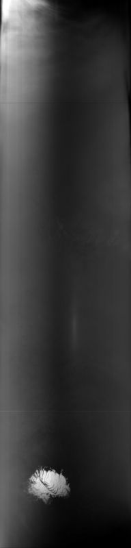
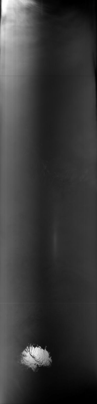
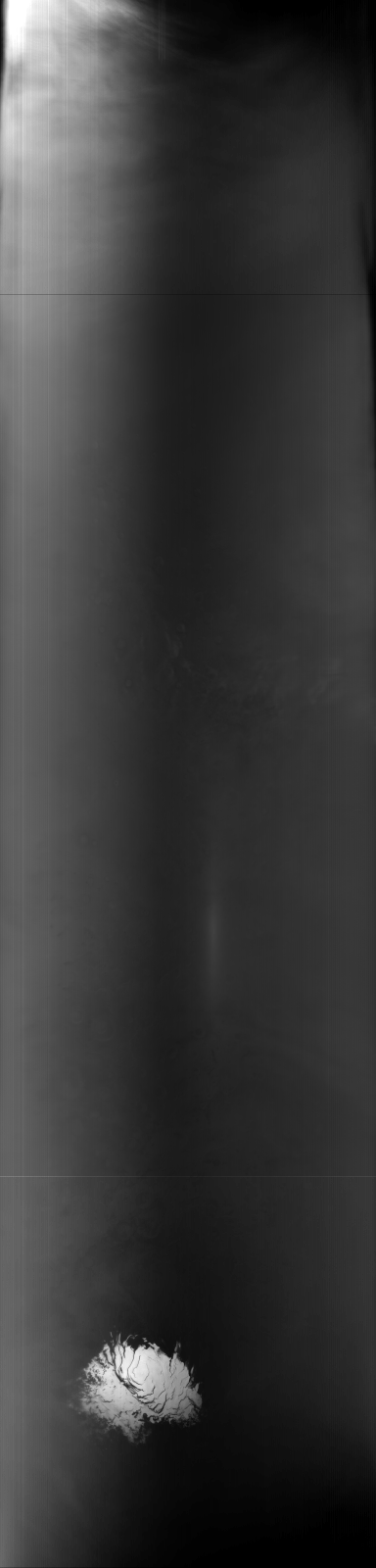
MOC global-map image S10-00479
global map swath
Ancillary data for MOC global-map image S10-00479
Acquisition parameters
     Image ID (picno): S10-00479
     Image start time: 2005-09-17T22:35:24.03 SCET
         Image  width:    384      pixels
         Image height:   1600      pixels
Line integration time:     80.4800 millisec
    Downtrack summing:     27
     Compression type: MOC-NONE
            Gain mode:     76 (hexadecimal)
          Offset mode:      5 (decimal)
|
Derived values
Longitude of image center: 238.01°W Latitude of image center: 24.98°S Scaled pixel width: 6763.25 meters Scaled image width: 0.00 km Scaled image height: 10296.81 km Solar longitude (Ls): 290.17° Local True Solar Time: 13.28 decimal hours Emission angle: 17.54° Incidence angle: 24.07° Phase angle: 29.31° North azimuth: 93.84° Sun azimuth: 1.67° Spacecraft altitude: 378.31 km Slant distance: 394.78 km |
Policy regarding use of processed images
Release date: 13 April 2006