 |
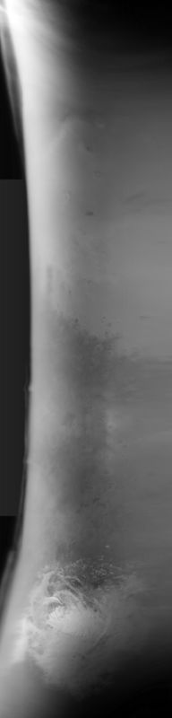
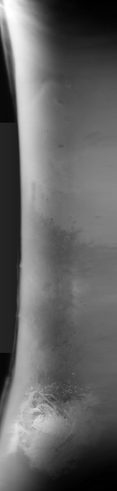
MOC global-map image S08-01113
global map swath
Ancillary data for MOC global-map image S08-01113
Acquisition parameters
     Image ID (picno): S08-01113
     Image start time: 2005-07-11T00:15:29.21 SCET
         Image  width:    384      pixels
         Image height:   1600      pixels
Line integration time:     80.4800 millisec
    Downtrack summing:     27
     Compression type: MOC-NONE
            Gain mode:     6A (hexadecimal)
          Offset mode:      5 (decimal)
|
Derived values
Longitude of image center: 207.38°W Latitude of image center: 27.03°S Scaled pixel width: 6754.40 meters Scaled image width: 0.00 km Scaled image height: 10279.70 km Solar longitude (Ls): 246.93° Local True Solar Time: 14.00 decimal hours Emission angle: 18.68° Incidence angle: 33.79° Phase angle: 42.87° North azimuth: 95.30° Sun azimuth: 3.70° Spacecraft altitude: 377.05 km Slant distance: 395.75 km |
Policy regarding use of processed images
Release date: 13 April 2006