 |
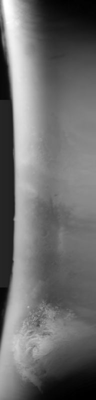
MOC global-map image S08-00625
global map swath
Ancillary data for MOC global-map image S08-00625
Acquisition parameters
     Image ID (picno): S08-00625
     Image start time: 2005-07-06T18:12:45.65 SCET
         Image  width:    384      pixels
         Image height:   1600      pixels
Line integration time:     80.4800 millisec
    Downtrack summing:     27
     Compression type: MOC-NONE
            Gain mode:     6A (hexadecimal)
          Offset mode:      5 (decimal)
|
Derived values
Longitude of image center: 157.54°W Latitude of image center: 26.26°S Scaled pixel width: 6742.74 meters Scaled image width: 0.00 km Scaled image height: 10289.80 km Solar longitude (Ls): 244.23° Local True Solar Time: 14.05 decimal hours Emission angle: 18.08° Incidence angle: 34.62° Phase angle: 42.60° North azimuth: 95.11° Sun azimuth: 2.95° Spacecraft altitude: 378.21 km Slant distance: 395.72 km |
Policy regarding use of processed images
Release date: 13 April 2006