 |
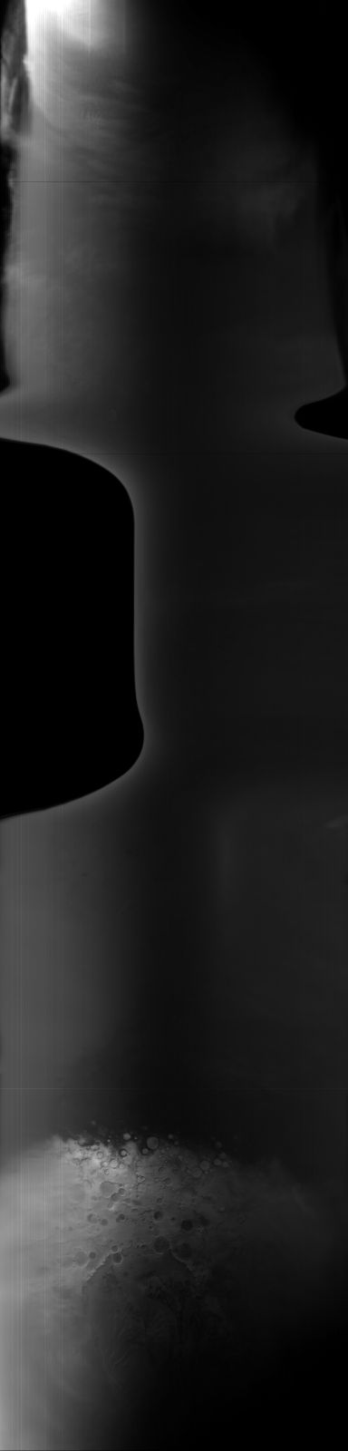
MOC global-map image S06-00211
global map swath

Ancillary data for MOC global-map image S06-00211
Acquisition parameters
     Image ID (picno): S06-00211
     Image start time: 2005-05-03T07:51:49.00 SCET
         Image  width:    384      pixels
         Image height:   1600      pixels
Line integration time:     80.4800 millisec
    Downtrack summing:     27
     Compression type: MOC-NONE
            Gain mode:     66 (hexadecimal)
          Offset mode:      5 (decimal)
|
Derived values
Longitude of image center: 267.71°W Latitude of image center: 12.41°S Scaled pixel width: 11323.71 meters Scaled image width: 88.90 km Scaled image height: 10456.86 km Solar longitude (Ls): 204.21° Local True Solar Time: 14.13 decimal hours Emission angle: 44.33° Incidence angle: 38.43° Phase angle: 79.21° North azimuth: 97.63° Sun azimuth: 7.06° Spacecraft altitude: 381.10 km Slant distance: 509.24 km |
Policy regarding use of processed images
Release date: 13 April 2006