 |
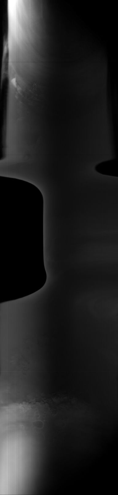
MOC global-map image S05-00336
global map swath

Ancillary data for MOC global-map image S05-00336
Acquisition parameters
     Image ID (picno): S05-00336
     Image start time: 2005-04-06T23:59:16.65 SCET
         Image  width:    384      pixels
         Image height:   1600      pixels
Line integration time:     80.4800 millisec
    Downtrack summing:     27
     Compression type: MOC-DCT-1
            Gain mode:     66 (hexadecimal)
          Offset mode:      5 (decimal)
|
Derived values
Longitude of image center: 41.88°W Latitude of image center: 2.46°S Scaled pixel width: 8671.79 meters Scaled image width: 118.76 km Scaled image height: 10511.40 km Solar longitude (Ls): 188.68° Local True Solar Time: 14.25 decimal hours Emission angle: 30.94° Incidence angle: 40.85° Phase angle: 69.79° North azimuth: 94.75° Sun azimuth: 1.97° Spacecraft altitude: 386.70 km Slant distance: 442.84 km |
Policy regarding use of processed images
Release date: 13 April 2006