 |
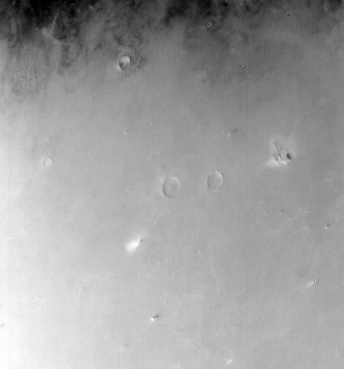
MOC wide-angle image S04-00665
Dust-raising event monitoring in northwest Amazonis Planitia

Ancillary data for MOC wide-angle image S04-00665
Acquisition parameters
     Image ID (picno): S04-00665
     Image start time: 2005-03-14T17:21:35.25 SCET
         Image  width:    672      pixels
         Image height:    720      pixels
Line integration time:     80.4800 millisec
   Pixel aspect ratio:      0.88
   Crosstrack summing:      1
    Downtrack summing:      1
     Compression type: MOC-NONE
            Gain mode:     4A (hexadecimal)
          Offset mode:      5 (decimal)
|
Derived values
Longitude of image center: 159.69°W Latitude of image center: 35.78°N Scaled pixel width: 274.14 meters Scaled image width: 188.99 km Scaled image height: 174.29 km Solar longitude (Ls): 175.49° Local True Solar Time: 14.70 decimal hours Emission angle: 19.33° Incidence angle: 50.62° Phase angle: 66.18° North azimuth: 94.45° Sun azimuth: 331.91° Spacecraft altitude: 411.94 km Slant distance: 433.68 km |
Policy regarding use of processed images
Release date: 12 October 2005