 |
MOC wide-angle image S04-00555
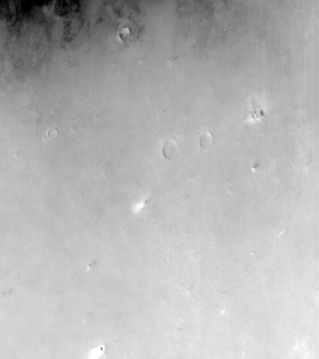
Dust-raising event monitoring in northwest Amazonis Planitia

Ancillary data for MOC wide-angle image S04-00555
Acquisition parameters
     Image ID (picno): S04-00555
     Image start time: 2005-03-12T16:17:40.03 SCET
         Image  width:    656      pixels
         Image height:    736      pixels
Line integration time:     80.4800 millisec
   Pixel aspect ratio:      0.80
   Crosstrack summing:      1
    Downtrack summing:      1
     Compression type: MOC-NONE
            Gain mode:     4A (hexadecimal)
          Offset mode:      5 (decimal)
|
Derived values
Longitude of image center: 159.82°W Latitude of image center: 35.46°N Scaled pixel width: 301.30 meters Scaled image width: 204.31 km Scaled image height: 177.58 km Solar longitude (Ls): 174.35° Local True Solar Time: 14.93 decimal hours Emission angle: 25.56° Incidence angle: 52.59° Phase angle: 48.44° North azimuth: 91.40° Sun azimuth: 332.73° Spacecraft altitude: 411.32 km Slant distance: 450.43 km |
Policy regarding use of processed images
Release date: 12 October 2005