 |
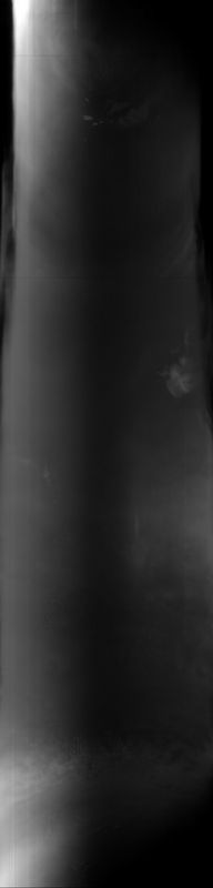
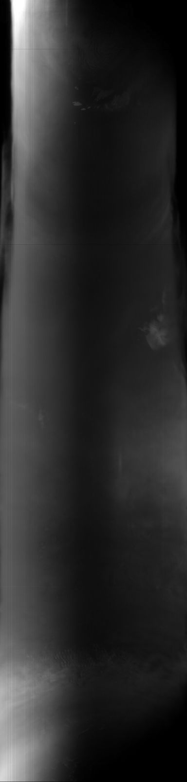
MOC global-map image S03-00932
global map swath
Ancillary data for MOC global-map image S03-00932
Acquisition parameters
     Image ID (picno): S03-00932
     Image start time: 2005-02-18T05:58:06.50 SCET
         Image  width:    384      pixels
         Image height:   1600      pixels
Line integration time:     80.4800 millisec
    Downtrack summing:     27
     Compression type: MOC-DCT-1
            Gain mode:     56 (hexadecimal)
          Offset mode:      5 (decimal)
|
Derived values
Longitude of image center: 228.99°W Latitude of image center: 12.18°N Scaled pixel width: 7074.30 meters Scaled image width: 0.00 km Scaled image height: 10438.71 km Solar longitude (Ls): 162.16° Local True Solar Time: 14.36 decimal hours Emission angle: 17.48° Incidence angle: 42.11° Phase angle: 44.87° North azimuth: 93.61° Sun azimuth: 1.33° Spacecraft altitude: 395.27 km Slant distance: 412.26 km |
Policy regarding use of processed images
Release date: 12 October 2005