 |
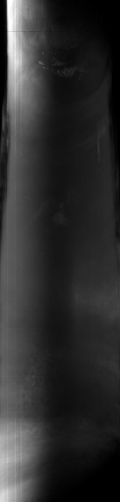
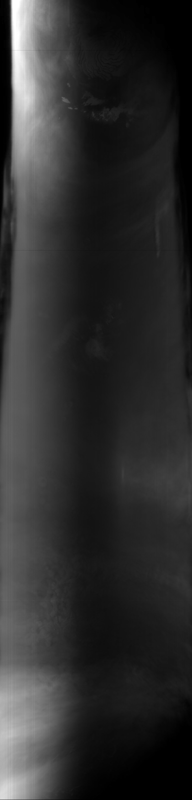
MOC global-map image S03-00642
global map swath

Ancillary data for MOC global-map image S03-00642
Acquisition parameters
     Image ID (picno): S03-00642
     Image start time: 2005-02-12T00:49:37.47 SCET
         Image  width:    384      pixels
         Image height:   1600      pixels
Line integration time:     80.4800 millisec
    Downtrack summing:     27
     Compression type: MOC-DCT-1
            Gain mode:     56 (hexadecimal)
          Offset mode:      5 (decimal)
|
Derived values
Longitude of image center: 211.79°W Latitude of image center: 13.90°N Scaled pixel width: 7114.23 meters Scaled image width: 0.00 km Scaled image height: 10416.36 km Solar longitude (Ls): 158.87° Local True Solar Time: 14.34 decimal hours Emission angle: 17.49° Incidence angle: 41.66° Phase angle: 44.48° North azimuth: 93.62° Sun azimuth: 1.32° Spacecraft altitude: 397.56 km Slant distance: 414.66 km |
Policy regarding use of processed images
Release date: 12 October 2005