 |
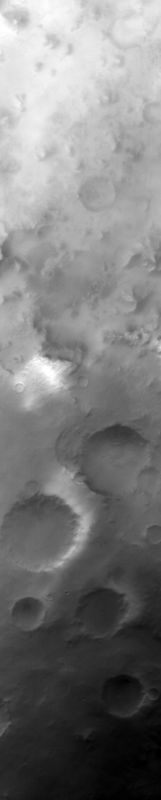
MOC wide-angle image S03-00209
Red WA view of terrain southeast of Argyre Planitia
Ancillary data for MOC wide-angle image S03-00209
Acquisition parameters
     Image ID (picno): S03-00209
     Image start time: 2005-02-04T10:22:41.83 SCET
         Image  width:    496      pixels
         Image height:   2464      pixels
Line integration time:     80.4800 millisec
   Pixel aspect ratio:      1.01
   Crosstrack summing:      1
    Downtrack summing:      1
     Compression type: MOC-NONE
            Gain mode:     3A (hexadecimal)
          Offset mode:      5 (decimal)
|
Derived values
Longitude of image center: 56.06°W Latitude of image center: 58.45°S Scaled pixel width: 243.54 meters Scaled image width: 122.38 km Scaled image height: 606.78 km Solar longitude (Ls): 154.88° Local True Solar Time: 15.13 decimal hours Emission angle: 17.97° Incidence angle: 78.85° Phase angle: 65.51° North azimuth: 95.66° Sun azimuth: 47.97° Spacecraft altitude: 373.46 km Slant distance: 390.59 km |
Policy regarding use of processed images
Release date: 12 October 2005