 |
MOC wide-angle image S02-00969
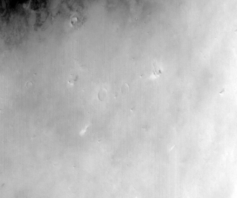
Dust-raising event monitoring in northwest Amazonis Planitia

Ancillary data for MOC wide-angle image S02-00969
Acquisition parameters
     Image ID (picno): S02-00969
     Image start time: 2005-01-24T09:58:04.12 SCET
         Image  width:    768      pixels
         Image height:    640      pixels
Line integration time:     80.4800 millisec
   Pixel aspect ratio:      0.76
   Crosstrack summing:      1
    Downtrack summing:      1
     Compression type: MOC-NONE
            Gain mode:     4A (hexadecimal)
          Offset mode:      5 (decimal)
|
Derived values
Longitude of image center: 159.37°W Latitude of image center: 35.66°N Scaled pixel width: 317.36 meters Scaled image width: 259.33 km Scaled image height: 154.00 km Solar longitude (Ls): 149.20° Local True Solar Time: 14.88 decimal hours Emission angle: 28.24° Incidence angle: 45.36° Phase angle: 36.08° North azimuth: 90.89° Sun azimuth: 341.54° Spacecraft altitude: 414.40 km Slant distance: 463.23 km |
Policy regarding use of processed images
Release date: 12 October 2005