 |
MOC wide-angle image S02-00864
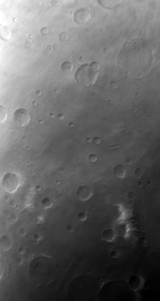
South seasonal frost cap and terrain of south Chrysokeras region

Ancillary data for MOC wide-angle image S02-00864
Acquisition parameters
     Image ID (picno): S02-00864
     Image start time: 2005-01-22T04:26:27.53 SCET
         Image  width:    512      pixels
         Image height:    960      pixels
Line integration time:     80.4800 millisec
   Pixel aspect ratio:      1.01
   Crosstrack summing:      3
    Downtrack summing:      3
     Compression type: MOC-NONE
            Gain mode:     3A (hexadecimal)
          Offset mode:      5 (decimal)
|
Derived values
Longitude of image center: 93.77°W Latitude of image center: 59.27°S Scaled pixel width: 727.00 meters Scaled image width: 422.40 km Scaled image height: 709.91 km Solar longitude (Ls): 148.07° Local True Solar Time: 15.16 decimal hours Emission angle: 18.19° Incidence angle: 81.95° Phase angle: 66.29° North azimuth: 96.36° Sun azimuth: 49.44° Spacecraft altitude: 370.45 km Slant distance: 387.90 km |
Policy regarding use of processed images
Release date: 12 October 2005