 |
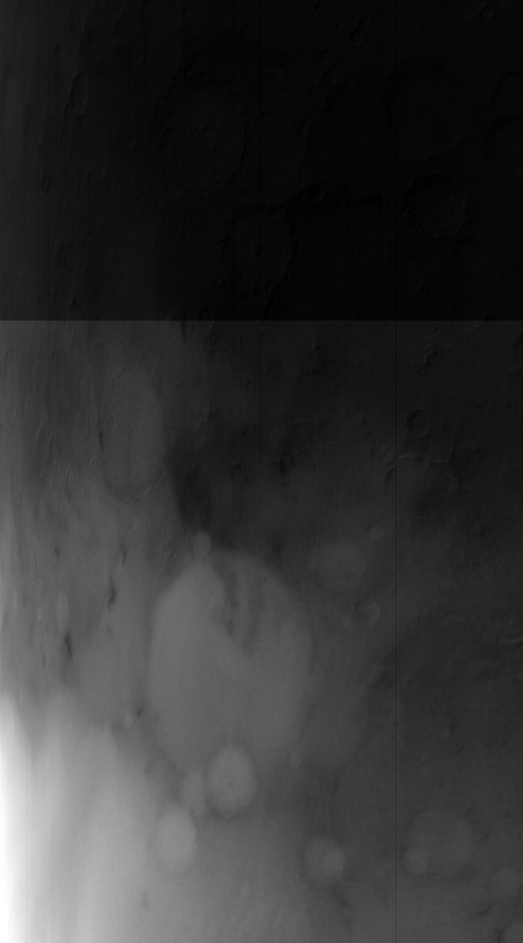
MOC wide-angle image S01-00676
Winter frost/fog monitoring of Terby Crater and vicinity Ls 103-130

Ancillary data for MOC wide-angle image S01-00676
Acquisition parameters
     Image ID (picno): S01-00676
     Image start time: 2004-12-16T17:20:35.34 SCET
         Image  width:    736      pixels
         Image height:   1328      pixels
Line integration time:     80.4800 millisec
   Pixel aspect ratio:      0.80
   Crosstrack summing:      2
    Downtrack summing:      2
     Compression type: MOC-NONE
            Gain mode:     46 (hexadecimal)
          Offset mode:      5 (decimal)
|
Derived values
Longitude of image center: 285.64°W Latitude of image center: 25.96°S Scaled pixel width: 638.60 meters Scaled image width: 637.34 km Scaled image height: 658.12 km Solar longitude (Ls): 130.03° Local True Solar Time: 14.59 decimal hours Emission angle: 30.91° Incidence angle: 59.03° Phase angle: 68.10° North azimuth: 92.93° Sun azimuth: 48.58° Spacecraft altitude: 375.73 km Slant distance: 430.35 km |
Policy regarding use of processed images
Release date: 12 October 2005