 |
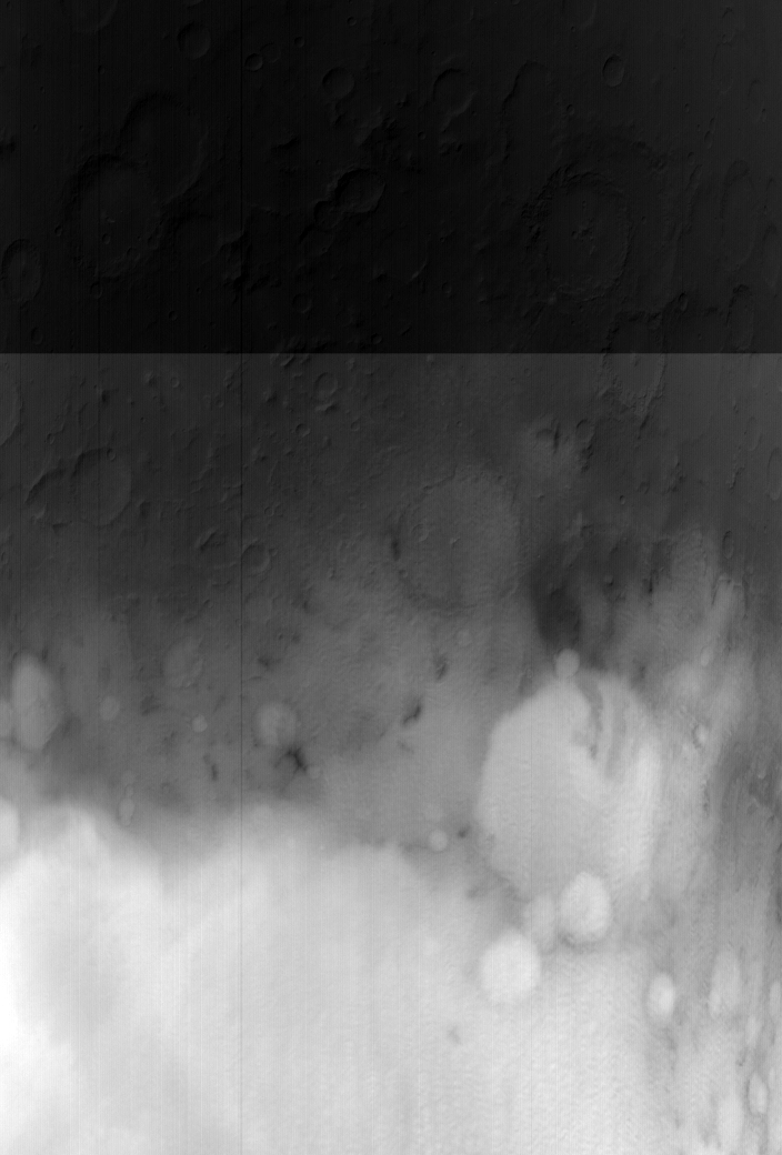
MOC wide-angle image S01-00489
Winter frost/fog monitoring of Terby Crater and vicinity Ls 103-130

Ancillary data for MOC wide-angle image S01-00489
Acquisition parameters
     Image ID (picno): S01-00489
     Image start time: 2004-12-12T15:12:39.65 SCET
         Image  width:    704      pixels
         Image height:   1040      pixels
Line integration time:     80.4800 millisec
   Pixel aspect ratio:      0.99
   Crosstrack summing:      3
    Downtrack summing:      3
     Compression type: MOC-NONE
            Gain mode:     46 (hexadecimal)
          Offset mode:      5 (decimal)
|
Derived values
Longitude of image center: 289.18°W Latitude of image center: 26.07°S Scaled pixel width: 754.60 meters Scaled image width: 719.33 km Scaled image height: 772.30 km Solar longitude (Ls): 128.07° Local True Solar Time: 14.83 decimal hours Emission angle: 19.14° Incidence angle: 61.95° Phase angle: 44.57° North azimuth: 93.54° Sun azimuth: 46.66° Spacecraft altitude: 376.08 km Slant distance: 395.70 km |
Policy regarding use of processed images
Release date: 12 October 2005