 |
MOC wide-angle image R23-00431
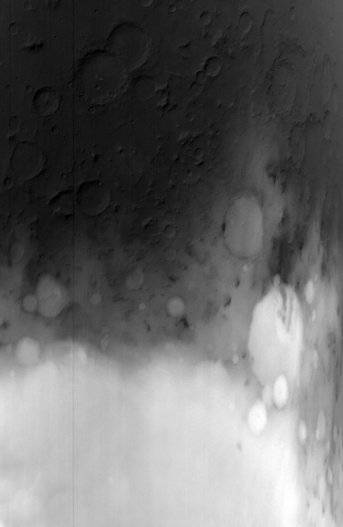
Winter frost/fog monitoring of Terby Crater and vicinity Ls 103-130

Ancillary data for MOC wide-angle image R23-00431
Acquisition parameters
     Image ID (picno): R23-00431
     Image start time: 2004-11-09T18:16:36.77 SCET
         Image  width:    688      pixels
         Image height:   1056      pixels
Line integration time:     80.4800 millisec
   Pixel aspect ratio:      0.92
   Crosstrack summing:      3
    Downtrack summing:      3
     Compression type: MOC-NONE
            Gain mode:     46 (hexadecimal)
          Offset mode:      5 (decimal)
|
Derived values
Longitude of image center: 290.70°W Latitude of image center: 26.76°S Scaled pixel width: 799.21 meters Scaled image width: 814.92 km Scaled image height: 785.64 km Solar longitude (Ls): 112.67° Local True Solar Time: 14.83 decimal hours Emission angle: 22.84° Incidence angle: 64.99° Phase angle: 42.15° North azimuth: 93.68° Sun azimuth: 49.78° Spacecraft altitude: 375.04 km Slant distance: 403.41 km |
Policy regarding use of processed images
Release date: 12 October 2005