 |
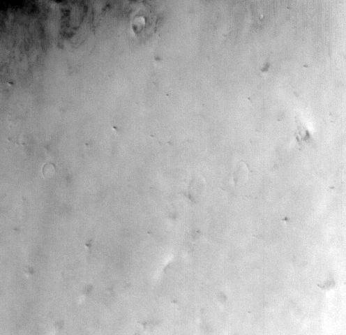
MOC wide-angle image R22-01612
Dust-raising event monitoring in northwest Amazonis Planitia

Ancillary data for MOC wide-angle image R22-01612
Acquisition parameters
     Image ID (picno): R22-01612
     Image start time: 2004-10-29T02:00:19.20 SCET
         Image  width:    496      pixels
         Image height:    480      pixels
Line integration time:     80.4800 millisec
   Pixel aspect ratio:      0.69
   Crosstrack summing:      1
    Downtrack summing:      1
     Compression type: MOC-NONE
            Gain mode:     4A (hexadecimal)
          Offset mode:      7 (decimal)
|
Derived values
Longitude of image center: 159.98°W Latitude of image center: 35.82°N Scaled pixel width: 347.19 meters Scaled image width: 175.52 km Scaled image height: 115.77 km Solar longitude (Ls): 107.34° Local True Solar Time: 14.75 decimal hours Emission angle: 31.79° Incidence angle: 37.50° Phase angle: 22.14° North azimuth: 90.33° Sun azimuth: 353.58° Spacecraft altitude: 412.74 km Slant distance: 475.89 km |
Policy regarding use of processed images
Release date: 12 October 2005