 |
MOC wide-angle image R22-01234
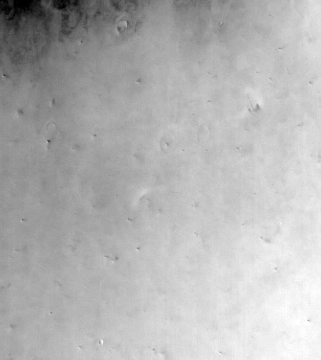
Dust-raising event monitoring in northwest Amazonis Planitia
Ancillary data for MOC wide-angle image R22-01234
Acquisition parameters
     Image ID (picno): R22-01234
     Image start time: 2004-10-21T21:17:51.55 SCET
         Image  width:    656      pixels
         Image height:    736      pixels
Line integration time:     80.4800 millisec
   Pixel aspect ratio:      0.79
   Crosstrack summing:      1
    Downtrack summing:      1
     Compression type: MOC-NONE
            Gain mode:     4A (hexadecimal)
          Offset mode:      7 (decimal)
|
Derived values
Longitude of image center: 159.77°W Latitude of image center: 35.40°N Scaled pixel width: 306.04 meters Scaled image width: 208.24 km Scaled image height: 177.43 km Solar longitude (Ls): 104.08° Local True Solar Time: 14.66 decimal hours Emission angle: 26.53° Incidence angle: 36.23° Phase angle: 25.21° North azimuth: 91.29° Sun azimuth: 354.80° Spacecraft altitude: 411.41 km Slant distance: 453.79 km |
Policy regarding use of processed images
Release date: 12 October 2005