 |
MOC wide-angle image R22-00675
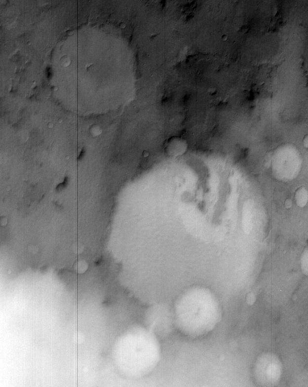
Winter frost/fog monitoring of Terby Crater and vicinity Ls 103-130

Ancillary data for MOC wide-angle image R22-00675
Acquisition parameters
     Image ID (picno): R22-00675
     Image start time: 2004-10-11T23:28:47.33 SCET
         Image  width:    624      pixels
         Image height:    784      pixels
Line integration time:     80.4800 millisec
   Pixel aspect ratio:      1.00
   Crosstrack summing:      2
    Downtrack summing:      2
     Compression type: MOC-NONE
            Gain mode:     46 (hexadecimal)
          Offset mode:      5 (decimal)
|
Derived values
Longitude of image center: 286.88°W Latitude of image center: 27.69°S Scaled pixel width: 495.05 meters Scaled image width: 335.00 km Scaled image height: 388.82 km Solar longitude (Ls): 99.63° Local True Solar Time: 14.71 decimal hours Emission angle: 18.14° Incidence angle: 65.71° Phase angle: 50.05° North azimuth: 93.49° Sun azimuth: 52.68° Spacecraft altitude: 374.27 km Slant distance: 391.76 km |
Policy regarding use of processed images
Release date: 12 October 2005